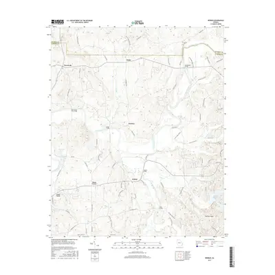
2017 Map of Redbud
USGS Topo · Published 2017About this map
The Coosawattee River winds through this section of Gordon County, serving as a primary geographic anchor for several small settlements and river crossings. Small communities such as Nickelsville, Fidelle, and Redbud are connected by a network of winding roads, including Old Grade Rd and Nickelsville Rd. The river itself is punctuated by historic crossing points like Montgomery Bridge, Owens Bridge, and Pine Chapel Ferry Bridge, the latter of which hints at the earlier transportation methods used before modern spans were constructed.
Find a feature on this map
81 named features on this map. Tap any name to fly to it.
Don’t see what you’re looking for? This feature index may not catch every label — zoom into the map to look around manually.
Map Details
Editions of this 2017 Redbud Map
This is the sole edition of this map. No revisions or reprints were ever made.
Other maps of this area

1886 · Dalton
USGS Topo · 1:125,000

1890 · Cartersville
USGS Topo · 1:125,000

1891 · Cartersville
USGS Topo · 1:125,000

1892 · Dalton
USGS Topo · 1:125,000

1896 · Cartersville
USGS Topo · 1:125,000

1897 · Dalton
USGS Topo · 1:125,000

1914 · Talking Rock
USGS Topo · 1:62,500

1916 · Talking Rock
USGS Topo · 1:62,500

1941 · Adairsville
USGS Topo · 1:62,500

1944 · Adairsville
USGS Topo · 1:62,500