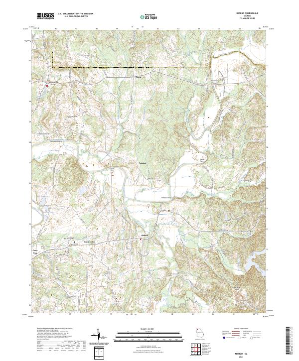
2024 Map of Redbud
USGS Topo · Published 2024About this map
The Coosawattee River winds through this portion of Gordon County, defining a landscape historically reliant on river crossings. The map identifies several significant river landmarks, including Shackleford Ferry, Fields Ferry, and Pulliams Ferry, illustrating a period before modern bridge infrastructure replaced these vital local connections. Small agricultural and residential hubs such as Redbud, Fidelle, and the oddly named Crane Eater anchor the rural road network, while the rugged Red Bone Ridges rise in the southeast. Genealogists will find value in the documentation of several family and community sites, from the McEntire Cem near the river to the Bethesda Church and Haven of Rest Memorial Park Cem further south. The convergence of Salacoa Creek and Lick Creek adds to the complex drainage pattern that has shaped settlement here for generations.
Find a feature on this map
105 named features on this map. Tap any name to fly to it.
Don’t see what you’re looking for? This feature index may not catch every label — zoom into the map to look around manually.
Map Details
Editions of this 2024 Redbud Map
This is the sole edition of this map. No revisions or reprints were ever made.
Other maps of this area

1886 · Dalton
USGS Topo · 1:125,000

1890 · Cartersville
USGS Topo · 1:125,000

1891 · Cartersville
USGS Topo · 1:125,000

1892 · Dalton
USGS Topo · 1:125,000

1896 · Cartersville
USGS Topo · 1:125,000

1897 · Dalton
USGS Topo · 1:125,000

1914 · Talking Rock
USGS Topo · 1:62,500

1916 · Talking Rock
USGS Topo · 1:62,500

1941 · Adairsville
USGS Topo · 1:62,500

1944 · Adairsville
USGS Topo · 1:62,500