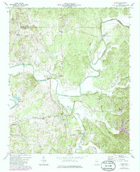
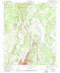
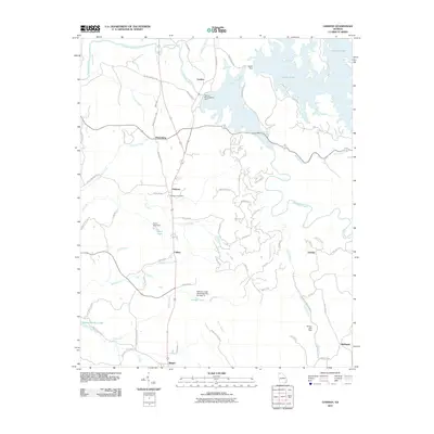
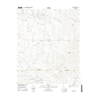
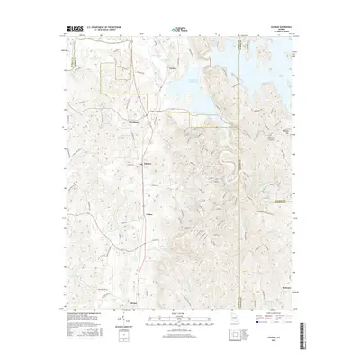
1972 Map of Redbud
USGS Topo · Published 1986About this map
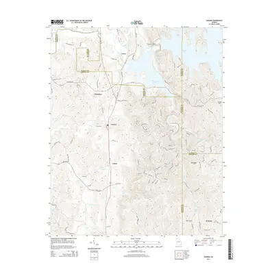
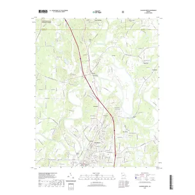
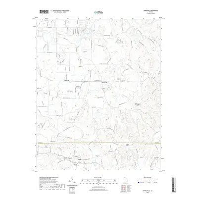
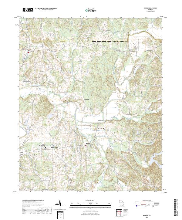
The Coosawattee River meanders sharply through this 1972 topography of Gordon County, Georgia, serving as the primary geographic anchor for numerous small agricultural communities. This period of the early 1970s reveals a landscape defined by localized centers such as Redbud and its namesake Redbud Sch, alongside rural settlements like Nickelsville, Fidelle, and Audubon. The presence of several community landmarks including Evergreen Ch, Mt Pleasant Ch, and Bethesda Ch underscores the genealogical importance of this quadrangle for local researchers.
Find a feature on this map
35 named features on this map. Tap any name to fly to it.
Don’t see what you’re looking for? This feature index may not catch every label — zoom into the map to look around manually.
Map Details
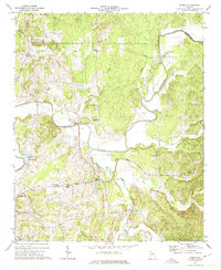
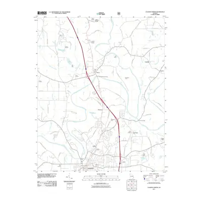
Editions of this 1972 Redbud Map
2 editions found
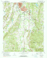
Historical Maps of Redbud Through Time
36 maps found
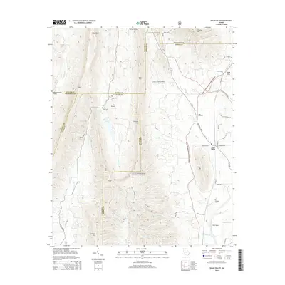
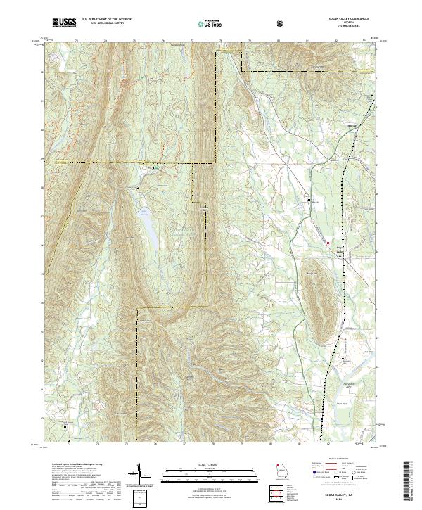
1967 Sugar Valley
Gordon County, GA
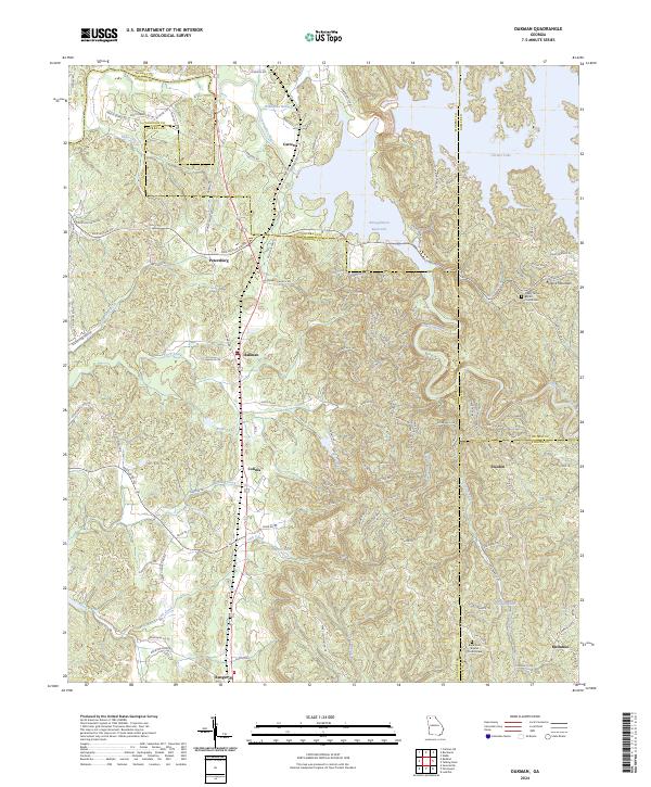
1971 Oakman
Gordon County, GA
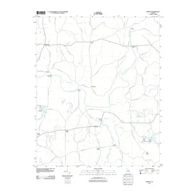
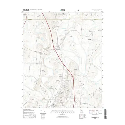
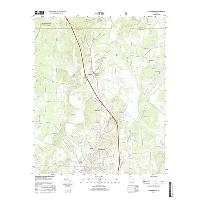
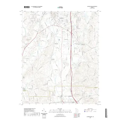
1972 Calhoun North
Gordon County, GA
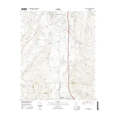
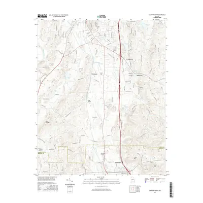
1972 Calhoun South
Gordon County, GA
1972 Redbud
Gordon County, GA
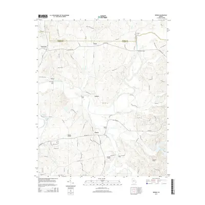
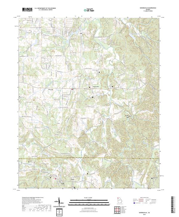
1972 Sonoraville
Gordon County, GA
2011 Calhoun North
Gordon County, GA

2011 Calhoun South
Gordon County, GA
2011 Oakman
Gordon County, GA
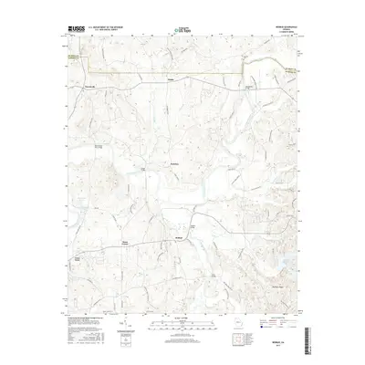
2011 Redbud
Gordon County, GA
2011 Sonoraville
Gordon County, GA
2011 Sugar Valley
Gordon County, GA
2014 Calhoun North
Gordon County, GA
2014 Calhoun South
Gordon County, GA
2014 Oakman
Gordon County, GA
2014 Redbud
Gordon County, GA
2014 Sonoraville
Gordon County, GA
2014 Sugar Valley
Gordon County, GA
2017 Calhoun North
Gordon County, GA
2017 Calhoun South
Gordon County, GA
2017 Oakman
Gordon County, GA
2017 Redbud
Gordon County, GA
2017 Sonoraville
Gordon County, GA
2017 Sugar Valley
Gordon County, GA
2020 Calhoun North
Gordon County, GA
2020 Calhoun South
Gordon County, GA
2020 Oakman
Gordon County, GA
2020 Redbud
Gordon County, GA
2020 Sonoraville
Gordon County, GA
2020 Sugar Valley
Gordon County, GA
2024 Calhoun North
Gordon County, GA
2024 Calhoun South
Gordon County, GA
2024 Oakman
Gordon County, GA
2024 Redbud
Gordon County, GA
2024 Sonoraville
Gordon County, GA
2024 Sugar Valley
Gordon County, GA