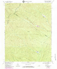
1967 Map of Reddish Knob
USGS Topo · Published 1984About this map
Shenandoah Mountain and the Sugar Grove Mountain range define the high-altitude landscape of this 1967 survey, where the border of West Virginia and Virginia follows the ridgeline. The area is dominated by the George Washington National Forest, with significant topographical markers like the Reddish Knob Lookout Tower and multiple scenic points including Stony Run Overlook and Heiliger Kanze Overlook.
Find a feature on this map
49 named features on this map. Tap any name to fly to it.
Don’t see what you’re looking for? This feature index may not catch every label — zoom into the map to look around manually.
Map Details
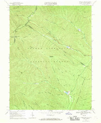
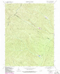
Editions of this 1967 Reddish Knob Map
3 editions found
Other maps of this area

1892 · Franklin
USGS Topo · 1:125,000

1894 · Staunton
USGS Topo · 1:125,000

1896 · Franklin
USGS Topo · 1:125,000

1922 · Fort Seybert
USGS Topo · 1:48,000

1922 · Circleville
USGS Topo · 1:62,500

1924 · Circleville
USGS Topo · 1:48,000

1924 · Mc Dowell
USGS Topo · 1:62,500

1924 · Fort Seybert
USGS Topo · 1:62,500

1944 · Parnassus
USGS Topo · 1:62,500

1944 · Mc Dowell
USGS Topo · 1:62,500