
1951 Map of Redelm NE
USGS Topo · Published 1953About this map
Cheyenne River Indian Reservation land dominates this 1951 survey, where the winding Moreau River carves deep loops across the Ziebach County landscape. The river's path is marked by several crossings, simply labeled as Ford, indicating the practical transportation network of the early fifties. Local community life is anchored by the Iron Lightning Sch and the nearby Iron Lightning Cem, providing specific points of interest for those researching family history in this portion of South Dakota. In the northern reaches, Thunder Butte Creek joins the drainage system amidst a terrain defined by high-frequency contour lines. Further east along the riverbank, St Luke Ch stands as another sign of the area's social and religious infrastructure during the mid-century development of the Missouri River Basin.
Find a feature on this map
9 named features on this map. Tap any name to fly to it.
Don’t see what you’re looking for? This feature index may not catch every label — zoom into the map to look around manually.
Map Details
Editions of this 1951 Redelm NE Map
This is the sole edition of this map. No revisions or reprints were ever made.
Other maps of this area

1951 · Redelm NW
USGS Topo · 1:24,000

1951 · Thunder Butte
USGS Topo · 1:24,000

1953 · McIntosh
USGS Topo · 1:250,000

1958 · McIntosh
USGS Topo · 1:250,000

1979 · Dupree
USGS Topo · 1:25,000

1982 · Glad Valley SW
USGS Topo · 1:24,000

1982 · Irish Creek SW
USGS Topo · 1:24,000
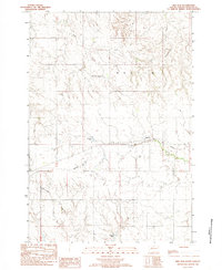
1982 · Red Elm
USGS Topo · 1:24,000

1982 · Glad Valley SE
USGS Topo · 1:24,000
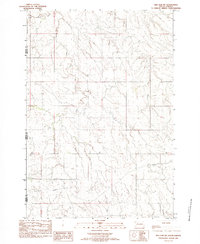
1982 · Red Elm SW
USGS Topo · 1:24,000