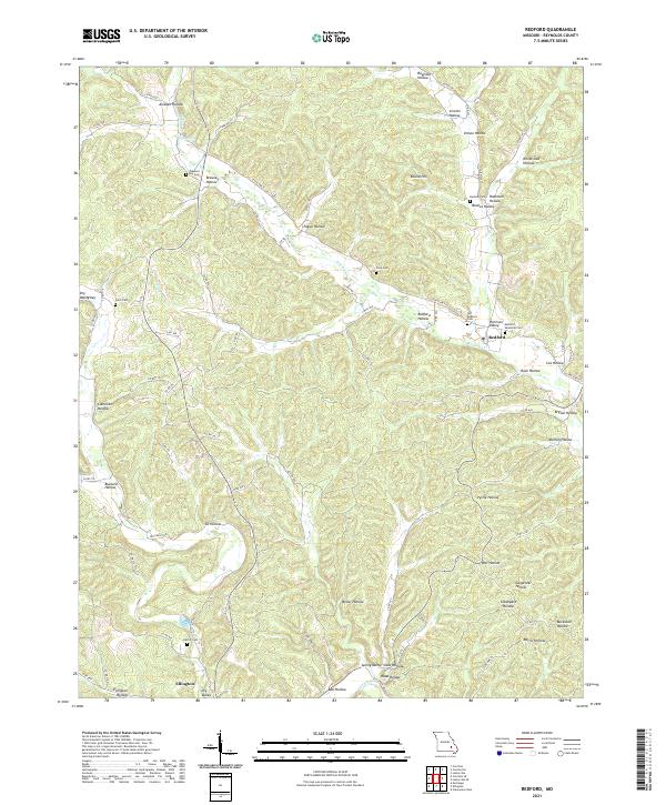
2021 Map of Redford
USGS Topo · Published 2021About this map
Redford and the northern outskirts of Ellington anchor this survey of the Missouri Ozarks, a landscape defined by an intricate network of narrow valleys and ridges. The geography is marked by dozens of named hollows, such as Amsden Hollow and Camelite Hollow, which have historically dictated the placement of roads and homesteads. Local family history is preserved in several burial grounds, including the Old Redford Cem and Redford Memorial Cem near the town center, as well as more isolated sites like Ratliff Cem and Price Cem.
Find a feature on this map
85 named features on this map. Tap any name to fly to it.
Don’t see what you’re looking for? This feature index may not catch every label — zoom into the map to look around manually.
Map Details
Editions of this 2021 Redford Map
This is the sole edition of this map. No revisions or reprints were ever made.
Other maps of this area

1928 · Cardareva
USGS Topo · 1:62,500

1943 · Ellington
USGS Topo · 1:62,500

1943 · Lesterville
USGS Topo · 1:62,500

1944 · Corridon
USGS Topo · 1:62,500

1945 · Ellington
USGS Topo · 1:62,500

1946 · Lesterville
USGS Topo · 1:62,500

1947 · Corridon
USGS Topo · 1:62,500

1949 · Rolla
USGS Topo · 1:250,000

1949 · Cardareva
USGS Topo · 1:62,500

1953 · Rolla
USGS Topo · 1:250,000