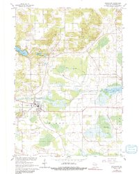
1961 Map of Redgranite
USGS Topo · Published 1991About this map
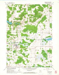
The industrial and agricultural character of eastern Waushara County is clearly defined in this 1961 survey, where the twin villages of Redgranite and Lohrville dominate the center-west. The landscape is marked by its extractive history, showing a large Quarry and numerous Quarries that once drove the local economy, alongside a network of scattered Gravel Pits. Water resources are a defining feature of the area, ranging from the recreational shores of Pearl Lake and Taylor Lake in the northwest to the wetlands surrounding Jordans Lake and Willow Creek in the south. Local heritage is preserved through landmarks like the Townhall and several rural burying grounds, including Poy Sippi Cem and Pine Grove Cem, providing valuable touchpoints for genealogists tracking family roots in the townships of Leon, Poy Sippi, Warren, and Aurora.
Find a feature on this map
24 named features on this map. Tap any name to fly to it.
Don’t see what you’re looking for? This feature index may not catch every label — zoom into the map to look around manually.
Map Details
Editions of this 1961 Redgranite Map
2 editions found
Other maps of this area

1915 · Neshkoro
USGS Topo · 1:48,000

1916 · Ripon
USGS Topo · 1:48,000

1918 · Neshkoro
USGS Topo · 1:62,500

1918 · Ripon
USGS Topo · 1:62,500

1955 · Green Bay
USGS Topo · 1:250,000

1956 · Ripon
USGS Topo · 1:62,500

1957 · Madison
USGS Topo · 1:250,000

1960 · Madison
USGS Topo · 1:250,000

1961 · Poy Sippi
USGS Topo · 1:62,500

1961 · Redgranite
USGS Topo · 1:62,500