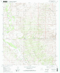
1981 Map of Redington
USGS Topo · Published 1981About this map
The San Pedro River valley serves as the central axis for this 1981 survey of the Arizona interior, where the high desert meets the structured boundaries of Pima, Graham, and Cochise Counties. This map documents a transitional landscape of ranching and remote settlement, centered on the community of Redington and the nearby Bingham Ranch. The presence of the Galiuro School and a local Cem (cemetery) suggests a durable, though sparse, residential footprint along the river's eastern banks, supported by the primary transit route of Redington Road.
Find a feature on this map
22 named features on this map. Tap any name to fly to it.
Don’t see what you’re looking for? This feature index may not catch every label — zoom into the map to look around manually.
Map Details
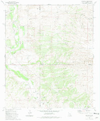
Editions of this 1981 Redington Map
2 editions found
Other maps of this area

1904 · Tucson
USGS Topo · 1:125,000

1905 · Tucson
USGS Topo · 1:125,000

1911 · Winkelman
USGS Topo · 1:125,000

1913 · Winkelman
USGS Topo · 1:125,000

1938 · Galiuro Mts
USGS Topo · 1:48,000

1943 · Galiuro Mts
USGS Topo · 1:62,500

1945 · Redington
USGS Topo · 1:62,500

1948 · Mammoth
USGS Topo · 1:62,500

1948 · Peppersauce Wash
USGS Topo · 1:24,000
1949 · Peppersauce Wash
USGS Topo · 1:24,000