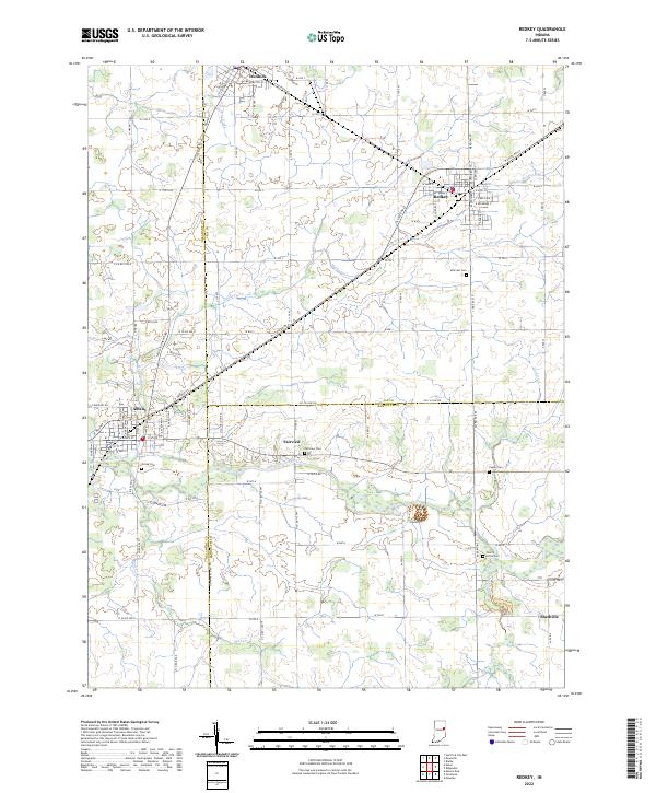
2022 Map of Redkey
USGS Topo · Published 2022About this map
Dunkirk and Redkey anchor the northern reaches of this East Central Indiana landscape, where the grid of rural township roads meets the winding path of the Mississinewa River. The terrain is defined by its agricultural character and the drainage network of Halfway Cr, Redkey Run, and Mud Cr, which have long shaped the settlement patterns of Jay, Delaware, and Randolph counties.
Find a feature on this map
96 named features on this map. Tap any name to fly to it.
Don’t see what you’re looking for? This feature index may not catch every label — zoom into the map to look around manually.
Map Details
Editions of this 2022 Redkey Map
This is the sole edition of this map. No revisions or reprints were ever made.
Other maps of this area

1952 · Maxville
USGS Topo · 1:24,000

1952 · Muncie East
USGS Topo · 1:24,000

1952 · Farmland
USGS Topo · 1:24,000

1953 · Muncie
USGS Topo · 1:250,000

1956 · Muncie
USGS Topo · 1:250,000

1960 · Pennville
USGS Topo · 1:24,000

1960 · Hartford City East
USGS Topo · 1:24,000

1960 · Blaine
USGS Topo · 1:24,000

1960 · Eaton
USGS Topo · 1:24,000

1960 · Ridgeville
USGS Topo · 1:24,000