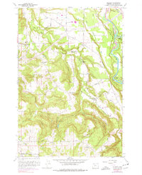
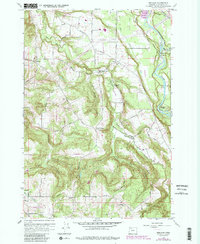
1961 Map of Redland
USGS Topo · Published 1977About this map
The Clackamas River winds through the eastern edge of this territory, where the historical Feldheimer Ferry (Site) once operated. This mid-century survey reflects the transition of the Clackamas County hinterlands, showing rural settlements like Redland, Logan, and Viola connected by a network of market and township roads. Local life is anchored by institutions such as the Grange Hall and several small schoolhouses, including Fir Grove Sch and Shubel Sch.
Find a feature on this map
43 named features on this map. Tap any name to fly to it.
Don’t see what you’re looking for? This feature index may not catch every label — zoom into the map to look around manually.
Map Details
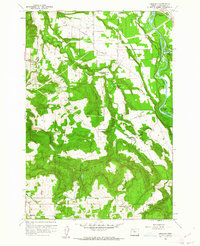
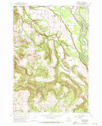
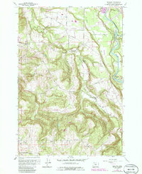
Editions of this 1961 Redland Map
5 editions found
Other maps of this area

1911 · Boring
USGS Topo · 1:48,000

1914 · Boring
USGS Topo · 1:62,500

1914 · Oregon City
USGS Topo · 1:62,500

1916 · Estacada
USGS Topo · 1:125,000

1939 · Molalla
USGS Topo · 1:62,500

1939 · Oregon City
USGS Topo · 1:62,500

1940 · Molalla
USGS Topo · 1:62,500

1940 · Boring
USGS Topo · 1:62,500

1941 · Oregon City
USGS Topo · 1:62,500

1948 · Vancouver
USGS Topo · 1:250,000