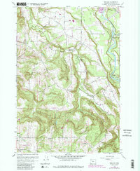
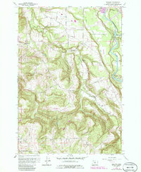
1961 Map of Redland
USGS Topo · Published 1985About this map
The Clackamas River carves through the eastern portion of this quadrangle, where the Feldheimer Ferry (Site) and several recreational areas like Bonnie Lure State Park and Milo Mc Iver State Park are situated. The landscape transitions from the river valley into a network of small agricultural and timber-oriented settlements, including Redland, Logan, and Viola. Local social life is anchored by institutions such as the Grange Hall and rural schoolhouses like Shubel Sch and North Highland Sch.
Find a feature on this map
51 named features on this map. Tap any name to fly to it.
Don’t see what you’re looking for? This feature index may not catch every label — zoom into the map to look around manually.
Map Details
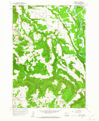
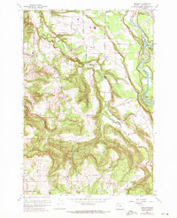
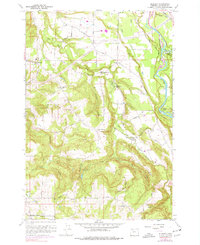
Editions of this 1961 Redland Map
5 editions found
Other maps of this area

1911 · Boring
USGS Topo · 1:48,000

1914 · Boring
USGS Topo · 1:62,500

1914 · Oregon City
USGS Topo · 1:62,500

1916 · Estacada
USGS Topo · 1:125,000

1939 · Molalla
USGS Topo · 1:62,500

1939 · Oregon City
USGS Topo · 1:62,500

1940 · Molalla
USGS Topo · 1:62,500

1940 · Boring
USGS Topo · 1:62,500

1941 · Oregon City
USGS Topo · 1:62,500

1948 · Vancouver
USGS Topo · 1:250,000