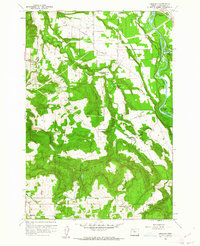
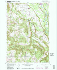
1961 Map of Redland
USGS Topo · Published 1961About this map
Fischers Mill and the surrounding Clackamas County countryside appear in this early 1960s survey, defined by the winding course of the Clackamas River and its numerous tributaries. The landscape is a network of small agricultural settlements and rural school districts, including Redland, Logan, and Viola. Notable for genealogists are the several local schools like Fir Grove Sch, Shubel Sch, and North Highland Sch, which served as anchors for these dispersed farming communities.
Find a feature on this map
62 named features on this map. Tap any name to fly to it.
Don’t see what you’re looking for? This feature index may not catch every label — zoom into the map to look around manually.
Map Details
Editions of this 1961 Redland Map
5 editions found
Other maps of this area

1911 · Boring
USGS Topo · 1:48,000

1914 · Boring
USGS Topo · 1:62,500

1914 · Oregon City
USGS Topo · 1:62,500

1916 · Estacada
USGS Topo · 1:125,000

1939 · Molalla
USGS Topo · 1:62,500

1939 · Oregon City
USGS Topo · 1:62,500

1940 · Molalla
USGS Topo · 1:62,500

1940 · Boring
USGS Topo · 1:62,500

1941 · Oregon City
USGS Topo · 1:62,500

1948 · Vancouver
USGS Topo · 1:250,000