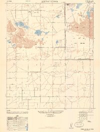
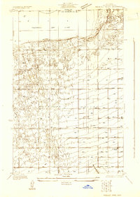
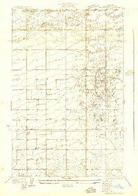
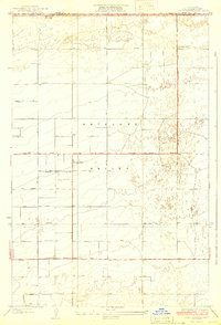
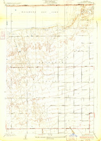
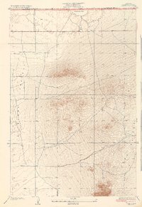
1947 Map of Redman School
USGS Topo · Published 1947About this map
The Mojave Desert and the flat expanses of Antelope Valley define the landscape of this 1947 Army Map Service compilation. The dominant feature is the vast Rogers Lake, which falls within the Muroc Army Airfield Military Reservation. This area served as a critical testing ground for the Army Air Force during and after the war, a function suggested by the expansive lake bed and its military designation.
Find a feature on this map
15 named features on this map. Tap any name to fly to it.
Don’t see what you’re looking for? This feature index may not catch every label — zoom into the map to look around manually.
Map Details
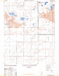
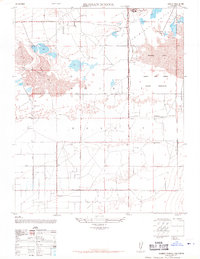
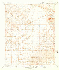
Editions of this 1947 Redman School Map
3 editions found
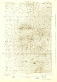
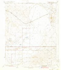
Other maps of this area

1915 · Elizabeth Lake
USGS Topo · 1:125,000

1917 · Elizabeth Lake
USGS Topo · 1:125,000
1930 · Joshua
USGS Topo · 1:24,000
1930 · Roosevelt School
USGS Topo · 1:24,000
1930 · Casa Desierta
USGS Topo · 1:24,000
1933 · Casa Desierta
USGS Topo · 1:24,000
1933 · Roosevelt School
USGS Topo · 1:24,000
1934 · Joshua
USGS Topo · 1:24,000
1937 · Rogers Lake
USGS Topo · 1:48,000
1942 · Rogers Lake
USGS Topo · 1:62,500