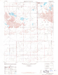
1947 Map of Redman School
USGS Topo · Published 1970About this map
The Mojave Desert and the high desert flats of the Antelope Valley define this mid-century landscape, where isolated ranching and recreation meet expanding military aviation. Large alkali basins, including Rogers Lake and Buckhorn Lake, dominate the northern terrain, providing the level expanses necessary for the Muroc Army Airfield Military Reservation. Amidst the scrub and dry lake beds, signs of civilian life persist in the form of the Redman School and Antelope School, which served the local families scattered along the geometric grid of Avenue B and Avenue E. Sporting life is evident near the water's edge at the Oasis Duck Club and Crystal Wells Gun Club, while the Ganso Bravo Ranch and Barns Airfield illustrate the era's reliance on private air travel and remote land holdings.
Find a feature on this map
22 named features on this map. Tap any name to fly to it.
Don’t see what you’re looking for? This feature index may not catch every label — zoom into the map to look around manually.
Map Details
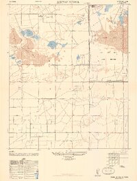
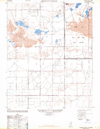
Editions of this 1947 Redman School Map
3 editions found
Other maps of this area

1915 · Elizabeth Lake
USGS Topo · 1:125,000

1917 · Elizabeth Lake
USGS Topo · 1:125,000

1930 · Joshua
USGS Topo · 1:24,000

1930 · Roosevelt School
USGS Topo · 1:24,000

1930 · Casa Desierta
USGS Topo · 1:24,000

1933 · Casa Desierta
USGS Topo · 1:24,000

1933 · Roosevelt School
USGS Topo · 1:24,000

1934 · Joshua
USGS Topo · 1:24,000

1937 · Rogers Lake
USGS Topo · 1:48,000

1942 · Rogers Lake
USGS Topo · 1:62,500