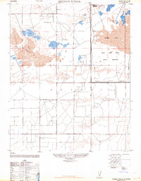
1947 Map of Redman School
USGS Topo · Published 1964About this map
Antelope Valley transitions from agricultural settlement into a restricted defense landscape in this 1947 survey of the Mojave Desert. The southern portion of the map is defined by a rigid grid of unpaved roads, including Avenue E and 170th Street, serving local education hubs like the namesake Redman School and Antelope School. These small rural centers contrast sharply with the expansive northern reaches, where the Muroc Army Airfield Military Reservation encompasses the vast alkali flats of Rogers Lake. The map documents a specific desert economy of the late 1940s, featuring isolated outposts such as the Ganso Bravo Ranch, the Oasis Duck Club, and Barns Airfield. These features, along with Buckhorn Lake, illustrate how water and aviation shaped the development of this corner of Los Angeles County before the full expansion of modern aerospace infrastructure.
Find a feature on this map
22 named features on this map. Tap any name to fly to it.
Don’t see what you’re looking for? This feature index may not catch every label — zoom into the map to look around manually.
Map Details
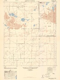
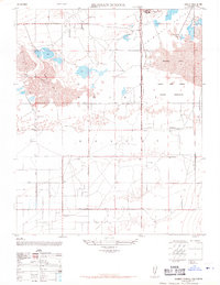
Editions of this 1947 Redman School Map
3 editions found
Other maps of this area

1915 · Elizabeth Lake
USGS Topo · 1:125,000

1917 · Elizabeth Lake
USGS Topo · 1:125,000

1930 · Joshua
USGS Topo · 1:24,000

1930 · Roosevelt School
USGS Topo · 1:24,000

1930 · Casa Desierta
USGS Topo · 1:24,000

1933 · Casa Desierta
USGS Topo · 1:24,000

1933 · Roosevelt School
USGS Topo · 1:24,000

1934 · Joshua
USGS Topo · 1:24,000

1937 · Rogers Lake
USGS Topo · 1:48,000

1942 · Rogers Lake
USGS Topo · 1:62,500