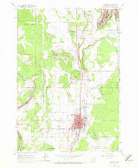
1962 Map of Redmond
USGS Topo · Published 1972About this map
Crooked River and its dramatic Gorge define the northern reaches of this High Desert landscape, while the burgeoning city of Redmond serves as the hub to the south. The 1962 field-checked data captures the city's mid-century expansion, evidenced by the development around Elm Ave and Antler Ave, and the presence of civic institutions like the Central Oregon District Hospital and John Tuck Sch.
Find a feature on this map
45 named features on this map. Tap any name to fly to it.
Don’t see what you’re looking for? This feature index may not catch every label — zoom into the map to look around manually.
Map Details
Editions of this 1962 Redmond Map
2 editions found
Other maps of this area

1926 · Bend
USGS Topo · 1:125,000

1929 · Bend
USGS Topo · 1:125,000

1955 · Bend
USGS Topo · 1:250,000

1957 · Bend
USGS Topo · 1:250,000

1958 · Bend
USGS Topo · 1:250,000

1961 · Redmond
USGS Topo · 1:24,000

1962 · Opal City
USGS Topo · 1:24,000

1962 · Forked Horn Butte
USGS Topo · 1:24,000

1962 · Oneil
USGS Topo · 1:24,000
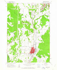
1962 · Redmond
USGS Topo · 1:24,000