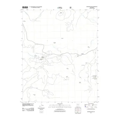
2011 Map of Redondo Peak
USGS Topo · Published 2011About this map
Redondo Peak dominates the northern skyline of this high-elevation landscape in the heart of New Mexico's Jemez Mountains. The terrain is defined by volcanic features, including the broad meadows of Valle Grande and the deep incision of El Cajete Canyon. Settlement is sparse, clustered primarily around Vallecitos de los Indios and the Triple H Ranch, while recreational infrastructure is visible at Redondo Campground and Jemez Falls Campground.
Find a feature on this map
32 named features on this map. Tap any name to fly to it.
Don’t see what you’re looking for? This feature index may not catch every label — zoom into the map to look around manually.
Map Details
Editions of this 2011 Redondo Peak Map
This is the sole edition of this map. No revisions or reprints were ever made.
Other maps of this area

1890 · Jemes
USGS Topo · 1:125,000

1892 · Jemes
USGS Topo · 1:125,000

1892 · Santa Clara
USGS Topo · 1:125,000

1937 · Jemez Springs
USGS Topo · 1:48,000

1943 · Jemez
USGS Topo · 1:62,500

1944 · Jemez Springs
USGS Topo · 1:62,500

1952 · Valle Toledo
USGS Topo · 1:24,000

1952 · Jemez Springs
USGS Topo · 1:62,500

1952 · Jemez
USGS Topo · 1:62,500

1953 · Bland
USGS Topo · 1:24,000