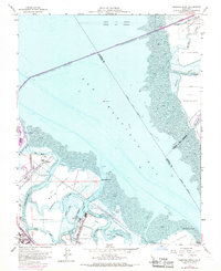
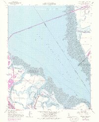
1959 Map of Redwood Point
USGS Topo · Published 1969About this map
Salt evaporators dominate the marshy landscape of the southern San Francisco Bay in this mid-century survey, illustrating an era when industrial salt production defined the shoreline. The map captures the early footprint of Foster City on Brewer Island and the expanding industrial activity at the Port of Redwood City. A complex network of tidal channels, including Steinberger Slough, Corkscrew Slough, and Redwood Creek, meanders through Bair Island and Greco Island, highlighting the intricate hydrology of the South Bay before extensive modern development. Notable communication infrastructure is evident with several broadcasting facilities like Radio Sta KNBC and the Press Wireless Radio Sta situated along the mudflats. The presence of the Southern Pacific railroad and the San Mateo Bridge underscores the region's role as a critical transportation corridor linking the Peninsula to the East Bay.
Find a feature on this map
41 named features on this map. Tap any name to fly to it.
Don’t see what you’re looking for? This feature index may not catch every label — zoom into the map to look around manually.
Map Details
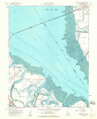
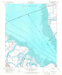
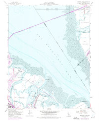
Editions of this 1959 Redwood Point Map
7 editions found
Other maps of this area

1892 · San Mateo
USGS Topo · 1:62,500

1896 · San Mateo
USGS Topo · 1:62,500

1897 · Palo Alto
USGS Topo · 1:62,500

1899 · Palo Alto
USGS Topo · 1:62,500

1899 · Haywards
USGS Topo · 1:62,500

1899 · San Mateo
USGS Topo · 1:62,500

1902 · Santa Cruz
USGS Topo · 1:125,000

1915 · San Mateo
USGS Topo · 1:62,500

1915 · Haywards
USGS Topo · 1:62,500

1939 · San Mateo
USGS Topo · 1:62,500