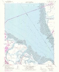
1959 Map of Redwood Point
USGS Topo · Published 1981About this map
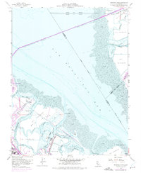
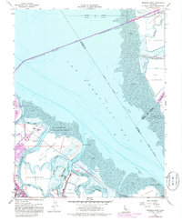
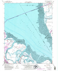
Salt evaporators and tidal marshlands dominate this mid-century shoreline, illustrating the industrial and natural transition of the South Bay. The map documents the early expansion of Foster City on Brewer Island and the operations at the Port of Redwood City, where Redwood Creek meets the bay. The landscape is defined by an intricate network of waterways, including Steinberger Slough and Corkscrew Slough, which wind around Bair Island and Greco Island.
Find a feature on this map
44 named features on this map. Tap any name to fly to it.
Don’t see what you’re looking for? This feature index may not catch every label — zoom into the map to look around manually.
Map Details
Editions of this 1959 Redwood Point Map
7 editions found
Other maps of this area

1892 · San Mateo
USGS Topo · 1:62,500

1896 · San Mateo
USGS Topo · 1:62,500

1897 · Palo Alto
USGS Topo · 1:62,500

1899 · Palo Alto
USGS Topo · 1:62,500

1899 · Haywards
USGS Topo · 1:62,500

1899 · San Mateo
USGS Topo · 1:62,500

1902 · Santa Cruz
USGS Topo · 1:125,000

1915 · San Mateo
USGS Topo · 1:62,500

1915 · Haywards
USGS Topo · 1:62,500

1939 · San Mateo
USGS Topo · 1:62,500