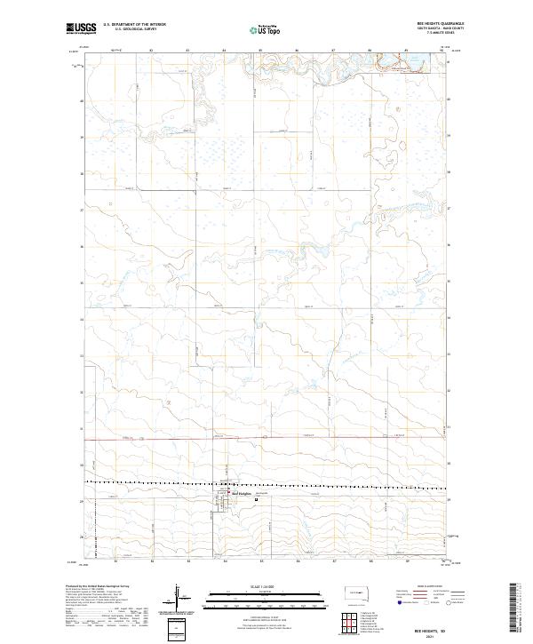
2021 Map of Ree Heights
USGS Topo · Published 2021About this map
The settlement of Ree Heights serves as the focal point of this Hand County landscape, where the town grid is defined by streets like Dakota Ave and Railroad St. To the east of the town center lies Morningside Cem, a key landmark for local genealogical research. This area of South Dakota is characterized by a high-density drainage network where Wolf Creek and its tributary, Little Wolf Creek, carve through the plains. The presence of Lake Louise in the northeastern corner, accompanied by the Pheasant-Run Trl, indicates a region where natural water bodies and modern recreational trails coexist alongside a rigorous section-line road system. The map reveals the interplay between the established townsite and the expansive agricultural lands partitioned by roads such as 350th Ave and 197th St.
Find a feature on this map
34 named features on this map. Tap any name to fly to it.
Don’t see what you’re looking for? This feature index may not catch every label — zoom into the map to look around manually.
Map Details
Editions of this 2021 Ree Heights Map
This is the sole edition of this map. No revisions or reprints were ever made.
Other maps of this area

1949 · Ree Heights NW
USGS Topo · 1:24,000

1950 · Ree Heights SE
USGS Topo · 1:24,000

1950 · Highmore NE
USGS Topo · 1:24,000

1950 · Ree Heights
USGS Topo · 1:24,000

1950 · Highmore SE
USGS Topo · 1:24,000

1951 · Ree Heights NW
USGS Topo · 1:24,000

1951 · Ree Heights NE
USGS Topo · 1:24,000

1953 · Huron
USGS Topo · 1:250,000

1954 · Huron
USGS Topo · 1:250,000

1973 · Macs Corner NE
USGS Topo · 1:24,000