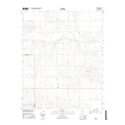
2016 Map of Reed
USGS Topo · Published 2016About this map
Reed stands as the primary settlement on this Greer County landscape, situated where the terrain begins to break into the drainage systems of southwestern Oklahoma. The community is anchored by the Reed Cem, serving as a central point for local genealogical research. This survey illustrates a rural environment defined by its water sources and rugged relief, featuring landmarks like Jay Buckle Spring and the Kenneth Houck Reservoir.
Find a feature on this map
29 named features on this map. Tap any name to fly to it.
Don’t see what you’re looking for? This feature index may not catch every label — zoom into the map to look around manually.
Map Details
Editions of this 2016 Reed Map
This is the sole edition of this map. No revisions or reprints were ever made.
Other maps of this area

1955 · Lawton
USGS Topo · 1:250,000

1955 · Clinton
USGS Topo · 1:250,000

1957 · Clinton
USGS Topo · 1:250,000

1961 · Willow
USGS Topo · 1:62,500

1961 · Erick
USGS Topo · 1:62,500

1971 · Russell
USGS Topo · 1:24,000

1971 · Mangum North
USGS Topo · 1:24,000

1971 · Vinson
USGS Topo · 1:24,000

1971 · Mangum South
USGS Topo · 1:24,000

1971 · Reed
USGS Topo · 1:24,000