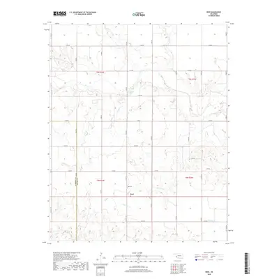
2018 Map of Reed
USGS Topo · Published 2018About this map
Reed stands as a focal point in this portion of Southwestern Oklahoma, situated near the border of Harmon Co and Greer Co. The landscape is defined by a dendritic network of intermittent streams, including the winding Sleepy John Cr and Sulphur Cr, which traverse the section lines that organize the rural territory. This grid system of roads, such as E1450 Rd and N1840 Rd, reflects the late-period agricultural and ranching layout of the region. Local history is anchored at the Reed Cem, while unique hydrologic features like Jay Buckle Spring suggest the importance of water sources in this semi-arid environment. The distribution of these named creeks, including Mulberry Cr and Cave Cr, highlights the subtle topographical shifts across the township boundaries of t5n r24w and t6n r23w.
Find a feature on this map
31 named features on this map. Tap any name to fly to it.
Don’t see what you’re looking for? This feature index may not catch every label — zoom into the map to look around manually.
Map Details
Editions of this 2018 Reed Map
This is the sole edition of this map. No revisions or reprints were ever made.
Other maps of this area

1955 · Lawton
USGS Topo · 1:250,000

1955 · Clinton
USGS Topo · 1:250,000

1957 · Clinton
USGS Topo · 1:250,000

1961 · Willow
USGS Topo · 1:62,500

1961 · Erick
USGS Topo · 1:62,500

1971 · Russell
USGS Topo · 1:24,000

1971 · Mangum North
USGS Topo · 1:24,000

1971 · Vinson
USGS Topo · 1:24,000

1971 · Mangum South
USGS Topo · 1:24,000

1971 · Reed
USGS Topo · 1:24,000