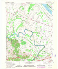
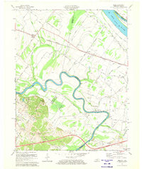
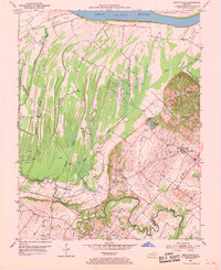
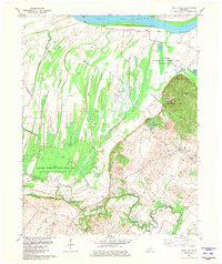
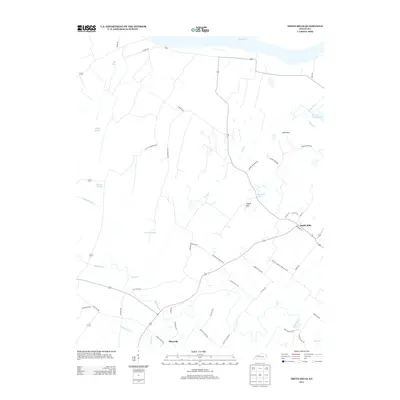
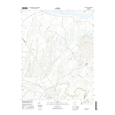
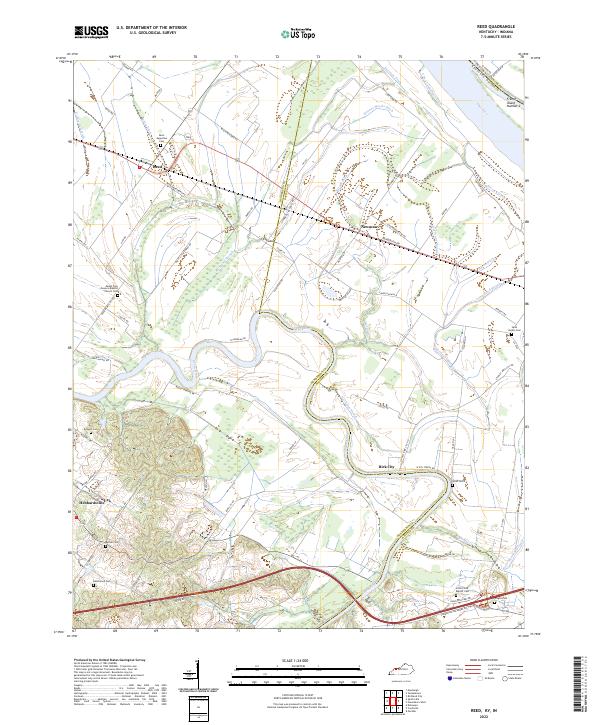
1971 Map of Reed
USGS Topo · Published 1981About this map
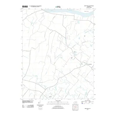
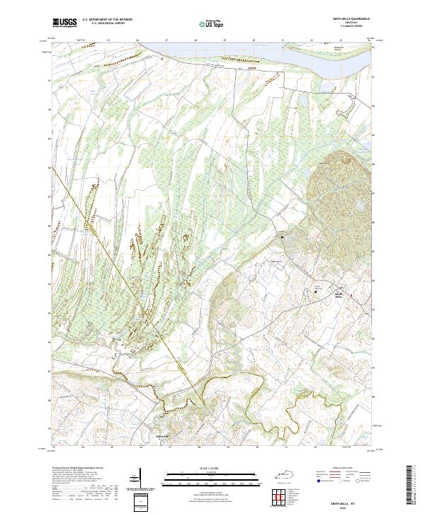
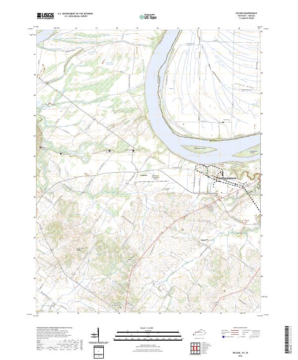
The Green River meanders sharply through the lowlands of Henderson and Daviess counties, creating a complex network of wetlands and seasonal water bodies like Reed Slough and Martin Slough. This landscape, characterized by its shifting river channels and expansive drainage ditches, is anchored by the Sloughs Wildlife Management Area. The settlement pattern follows the higher ground, with small communities such as Reed, Newman, and Birk City serving as local hubs. The transport of the era is defined by the Louisville and Nashville railroad corridor and the Audubon Parkway, which cut through a region heavily utilized for energy extraction, evidenced by the numerous oil and gas wells scattered across the map. Local life centers on rural institutions like St Peters Sch and the Pleasant Hill Ch, while the Ohio River and French Island No 2 dominate the northern border.
Find a feature on this map
50 named features on this map. Tap any name to fly to it.
Don’t see what you’re looking for? This feature index may not catch every label — zoom into the map to look around manually.
Map Details
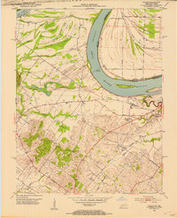
Editions of this 1971 Reed Map
2 editions found
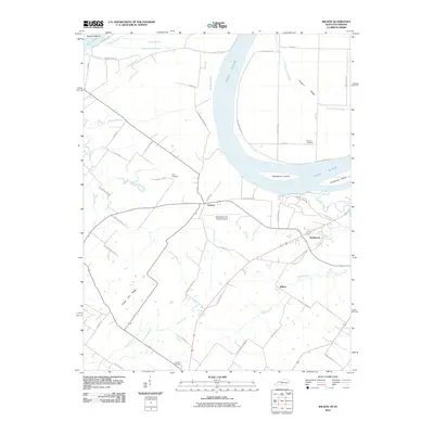
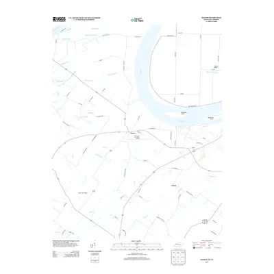
Historical Maps of Newman Through Time
29 maps found
1905 Newburg
Henderson County, KY
1952 Reed
Henderson County, KY
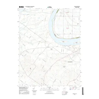
1952 Smith Mills
Henderson County, KY
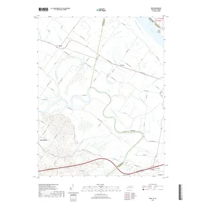
1952 Wilson
Henderson County, KY
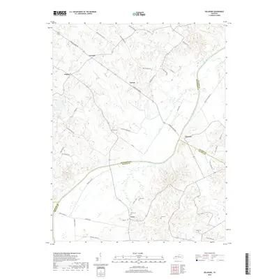
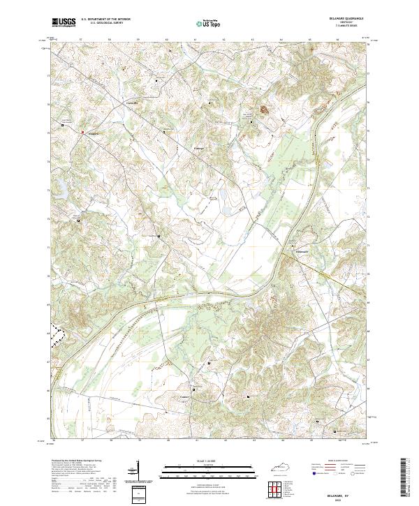
1953 Delaware
Henderson County, KY
1959 Wilson
Henderson County, KY
1971 Reed
Henderson County, KY
1981 Smith Mills
Henderson County, KY
1981 Wilson
Henderson County, KY
2010 Delaware
Henderson County, KY
2010 Reed
Henderson County, KY
2010 Smith Mills
Henderson County, KY
2010 Wilson
Henderson County, KY
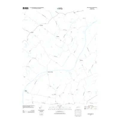
2013 Delaware
Henderson County, KY
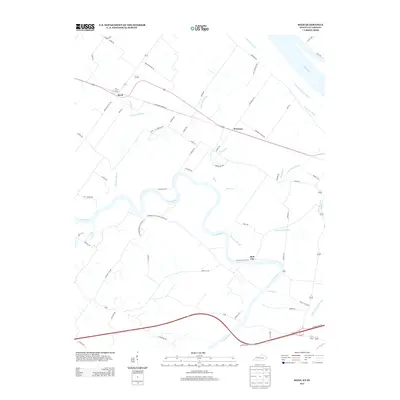
2013 Reed
Henderson County, KY
2013 Smith Mills
Henderson County, KY
2013 Wilson
Henderson County, KY
2016 Delaware
Henderson County, KY
2016 Reed
Henderson County, KY
2016 Smith Mills
Henderson County, KY
2016 Wilson
Henderson County, KY
2019 Delaware
Henderson County, KY
2019 Reed
Henderson County, KY
2019 Smith Mills
Henderson County, KY
2019 Wilson
Henderson County, KY
2022 Delaware
Henderson County, KY
2022 Reed
Henderson County, KY
2022 Smith Mills
Henderson County, KY
2022 Wilson
Henderson County, KY