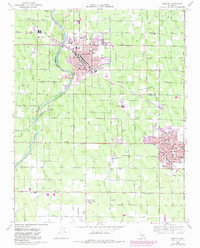
1966 Map of Reedley
USGS Topo · Published 1982About this map
The agricultural landscape of the San Joaquin Valley is defined here by the confluence of the Kings River and a dense network of irrigation channels like the Highland Canal and Reedley Canal. Centered on Reedley and Dinuba, this survey shows the post-war expansion of these Central Valley communities, including the development of Reedley College and the Sierra Kings Hospital. The map records a complex transport and utility grid, where the Southern Pacific and Santa Fe railroads intersect the town centers, serving the region's orchards and vineyards.
Find a feature on this map
56 named features on this map. Tap any name to fly to it.
Don’t see what you’re looking for? This feature index may not catch every label — zoom into the map to look around manually.
Map Details
Editions of this 1966 Reedley Map
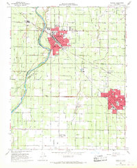
2 editions found
Other maps of this area

1921 · Squaw Valley
USGS Topo · 1:31,680

1922 · Trimmer
USGS Topo · 1:96,000

1923 · Sultana
USGS Topo · 1:31,680

1923 · Wahtoke
USGS Topo · 1:31,680

1923 · Sanger
USGS Topo · 1:31,680

1924 · Reedley
USGS Topo · 1:31,680

1924 · Selma
USGS Topo · 1:31,680

1924 · Citrus Cove
USGS Topo · 1:31,680

1924 · Dinuba
USGS Topo · 1:125,000

1926 · Burris Park
USGS Topo · 1:31,680