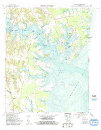
1968 Map of Reedville
USGS Topo · Published 1993About this map
Reedville and the surrounding Chesapeake Bay waterfront define this late-20th-century coastal survey of Northumberland County. The landscape is dominated by a series of long, wooded peninsulas or "necks," including Cockrell Neck, Bull Neck, and Harveys Neck, which separate the intricate tidal creeks from the open waters of Ingram Bay. This map documents a region deeply tied to the water, where the menhaden fishing industry historically centered around Cockrell Creek and the neighboring settlements of Fleeton and Fairport.
Find a feature on this map
75 named features on this map. Tap any name to fly to it.
Don’t see what you’re looking for? This feature index may not catch every label — zoom into the map to look around manually.
Map Details
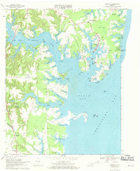
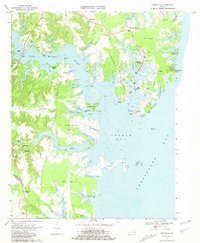
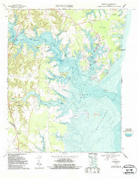
Editions of this 1968 Reedville Map
4 editions found
Other maps of this area

1916 · Kilmarnock
USGS Topo · 1:48,000

1917 · Heathsville
USGS Topo · 1:48,000

1917 · Kilmarnock
USGS Topo · 1:62,500

1917 · Ewell
USGS Topo · 1:62,500

1942 · Kilmarnock
USGS Topo · 1:62,500

1943 · Richmond
USGS Topo · 1:250,000
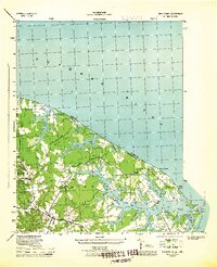
1944 · Sunnybank
USGS Topo · 1:31,680

1944 · Reedville
USGS Topo · 1:31,680
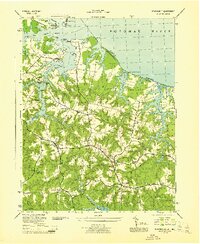
1944 · Heathsville
USGS Topo · 1:31,680
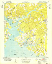
1949 · Irvington
USGS Topo · 1:24,000