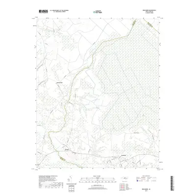
2019 Map of Reelsboro
USGS Topo · Published 2019About this map
Reelsboro and the nearby community of Olympia anchor this coastal plain landscape where the borders of Pamlico, Craven, and Beaufort counties meet. The area is defined by an intricate network of wetlands and watercourses, including the extensive Possum Swamp and Savannah Bridge Swamp, which drain into Upper Broad Creek. This 2019 survey documents the transition from these hydrologic features to established human settlements, showing the placement of local landmarks such as Hollywood Cem and Sand Hill Cem.
Find a feature on this map
52 named features on this map. Tap any name to fly to it.
Don’t see what you’re looking for? This feature index may not catch every label — zoom into the map to look around manually.
Map Details
Editions of this 2019 Reelsboro Map
This is the sole edition of this map. No revisions or reprints were ever made.
Other maps of this area

1901 · New Bern
USGS Topo · 1:62,500

1902 · Vanceboro
USGS Topo · 1:62,500

1903 · New Bern
USGS Topo · 1:62,500

1904 · Vanceboro
USGS Topo · 1:62,500

1905 · Vanceboro
USGS Topo · 1:62,500

1950 · New Bern
USGS Topo · 1:24,000

1950 · Aurora
USGS Topo · 1:24,000

1950 · Edward
USGS Topo · 1:24,000

1950 · Upper Broad Creek
USGS Topo · 1:24,000

1950 · Arapahoe
USGS Topo · 1:24,000