
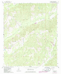
1966 Map of Reform SW
USGS Topo · Published 1968About this map
Coal Fire Creek and Woolbank Creek wind through this rural Pickens County landscape, defining the topography of an area dominated by small-scale community hubs in the mid-1960s. The map reveals a social geography anchored by local institutions such as the County Training Sch, along with numerous rural congregations including Pine Grove Ch, Cross Roads Ch, Mt Pleasant Ch, and Spring Hill Ch.
Find a feature on this map
17 named features on this map. Tap any name to fly to it.
Don’t see what you’re looking for? This feature index may not catch every label — zoom into the map to look around manually.
Map Details
Editions of this 1966 Reform SW Map
2 editions found
Other maps of this area

1953 · West Point
USGS Topo · 1:250,000

1958 · West Point
USGS Topo · 1:250,000

1960 · Columbus
USGS Topo · 1:62,500

1963 · West Point
USGS Topo · 1:250,000

1966 · Ethelsville
USGS Topo · 1:24,000

1967 · Carrollton
USGS Topo · 1:24,000
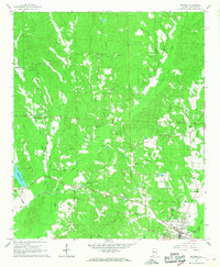
1967 · Reform
USGS Topo · 1:24,000

1970 · Aliceville North
USGS Topo · 1:24,000
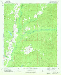
1970 · Cunningham
USGS Topo · 1:24,000
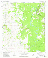
1974 · Pickensville
USGS Topo · 1:24,000