1916 Map of Regina
USGS Topo · Published 1916About this map
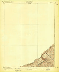
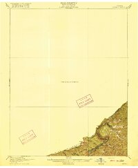
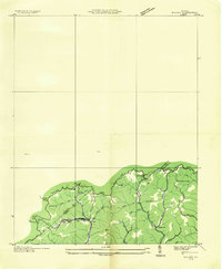
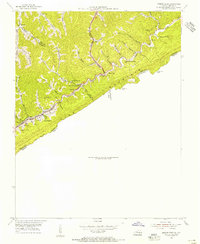
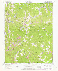
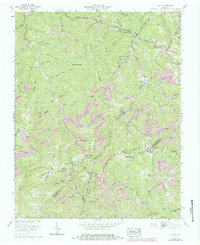
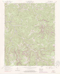
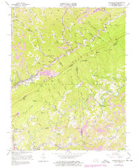
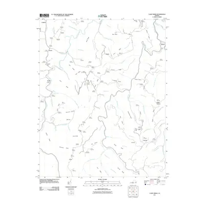
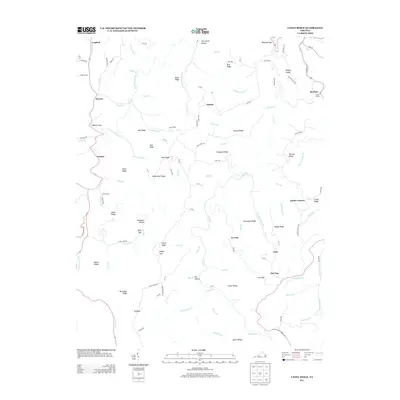
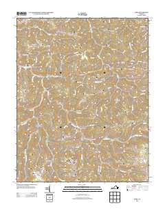
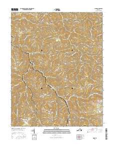
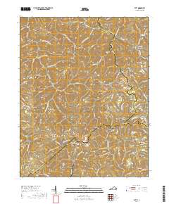
Pine Mountain forms the primary physical and political spine of this 1913 survey, marking the jagged interstate border between Pike County, Kentucky, and Dickenson County, Virginia. This preliminary edition focuses heavily on the dramatic relief of the Cumberland Mountains, where water gaps and prominent summits like Skeet Rock Knob and Blue Head dominate the landscape. The drainage patterns are clearly defined by the Russell Fork and its tributaries, including Middle Fork and Jane Fork, which carve through the steep terrain.
Find a feature on this map
14 named features on this map. Tap any name to fly to it.
Don’t see what you’re looking for? This feature index may not catch every label — zoom into the map to look around manually.
Map Details
Editions of this 1916 Regina Map
2 editions found
Historical Maps of Pikeville Through Time
22 maps found
1916 Regina
Dickenson County, VA
1935 Wilder
Dickenson County, VA
1954 Jenkins East
Dickenson County, VA
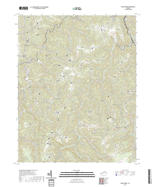
1958 Caney Ridge
Dickenson County, VA
1958 Duty
Dickenson County, VA
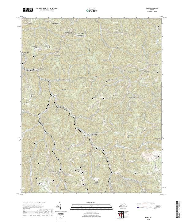
1958 Nora
Dickenson County, VA
1963 Jenkins East
Dickenson County, VA
2011 Caney Ridge
Dickenson County, VA
2011 Duty
Dickenson County, VA

2011 Nora
Dickenson County, VA
2013 Caney Ridge
Dickenson County, VA
2013 Duty
Dickenson County, VA
2013 Nora
Dickenson County, VA
2016 Caney Ridge
Dickenson County, VA

2016 Duty
Dickenson County, VA
2016 Nora
Dickenson County, VA
2019 Caney Ridge
Dickenson County, VA
2019 Duty
Dickenson County, VA
2019 Nora
Dickenson County, VA
2022 Caney Ridge
Dickenson County, VA

2022 Duty
Dickenson County, VA
2022 Nora
Dickenson County, VA