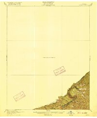
1916 Map of Regina
USGS Topo · Published 1916About this map
Pine Mountain forms a natural barrier along the border where Virginia meets Kentucky, dominating this 1913 survey conducted by the U.S. Geological Survey and the state. The landscape is defined by the dramatic passage of water through stone, most notably at the gorge known as The Breaks where the Russell Fork river carves a path through the ridge. Landmark elevations like Skeet Rock Knob, Blue Head, and the rock formations of The Towers overlook a dense network of drainages including the Middle Fork and Pound River. Industrial development is represented by the Carolina Clinchfield and Ohio railroad line, which follows the river's path through the mountains. This preliminary edition captures the region's topography just before the first world war, highlighting remote gaps like Skegg Gap and numerous creek branches such as Barts Lick Creek and Grassy Creek.
Find a feature on this map
22 named features on this map. Tap any name to fly to it.
Don’t see what you’re looking for? This feature index may not catch every label — zoom into the map to look around manually.
Map Details
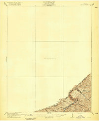
Editions of this 1916 Regina Map
2 editions found
Other maps of this area

1886 · Prestonsburg
USGS Topo · 1:125,000

1886 · Grundy
USGS Topo · 1:125,000

1887 · Warfield
USGS Topo · 1:125,000

1890 · Whitesburg
USGS Topo · 1:125,000

1890 · Grundy
USGS Topo · 1:125,000

1891 · Warfield
USGS Topo · 1:125,000

1892 · Grundy
USGS Topo · 1:125,000

1892 · Whitesburg
USGS Topo · 1:125,000

1892 · Prestonsburg
USGS Topo · 1:125,000

1909 · Matewan
USGS Topo · 1:48,000