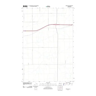
2011 Map of Reiman SW
USGS Topo · Published 2011About this map
Adams County’s high desert plateau is defined by its rigorous section-line road network in this 2011 topographic record. The landscape is dominated by large-scale agricultural parcels and drainage patterns, with North-South corridors like N Lauer Rd and N Hoffman Rd providing the primary transit for this rural area. The Interstate 90 corridor bisects the northern half of the quadrangle, flanked by local routes such as E Koch Rd and E Schrag Rd. This survey reflects the modern agricultural configuration of the region, where roads like E Harder Rd and E Franz Rd serve as the framework for the expansive farmsteads of eastern Washington. The absence of traditional town centers highlights the decentralized, farm-to-market nature of the local economy during this era.
Find a feature on this map
11 named features on this map. Tap any name to fly to it.
Don’t see what you’re looking for? This feature index may not catch every label — zoom into the map to look around manually.
Map Details
Editions of this 2011 Reiman SW Map
This is the sole edition of this map. No revisions or reprints were ever made.
Other maps of this area

1916 · Connell
USGS Topo · 1:125,000

1918 · Connell
USGS Topo · 1:125,000

1925 · Schrag
USGS Topo · 1:62,500

1953 · Walla Walla
USGS Topo · 1:250,000

1953 · Ritzville
USGS Topo · 1:250,000

1958 · Walla Walla
USGS Topo · 1:250,000

1959 · Ritzville
USGS Topo · 1:250,000

1965 · Ritzville
USGS Topo · 1:250,000

1967 · Reiman SW
USGS Topo · 1:24,000

1967 · Schoonover
USGS Topo · 1:24,000