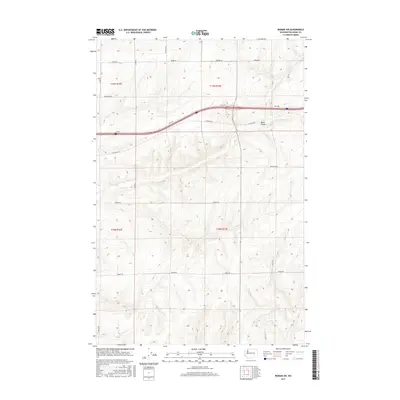
2017 Map of Reiman SW
USGS Topo · Published 2017About this map
Bauer Coulee winds through this rural landscape in eastern Washington, defining the topography of a region dominated by agricultural grid-lines and dry-land drainage patterns. This 2017 survey illustrates the precise boundary of Washington-Adams Co. and the extensive network of farm-to-market roads that serve the high plateau. The terrain is marked by the sharp contrast between the sweeping natural curves of the coulee and the rigid, mile-square sections established by the Public Land Survey System.
Find a feature on this map
19 named features on this map. Tap any name to fly to it.
Don’t see what you’re looking for? This feature index may not catch every label — zoom into the map to look around manually.
Map Details
Editions of this 2017 Reiman SW Map
This is the sole edition of this map. No revisions or reprints were ever made.
Other maps of this area

1916 · Connell
USGS Topo · 1:125,000

1918 · Connell
USGS Topo · 1:125,000

1925 · Schrag
USGS Topo · 1:62,500

1953 · Walla Walla
USGS Topo · 1:250,000

1953 · Ritzville
USGS Topo · 1:250,000

1958 · Walla Walla
USGS Topo · 1:250,000

1959 · Ritzville
USGS Topo · 1:250,000

1965 · Ritzville
USGS Topo · 1:250,000

1967 · Reiman SW
USGS Topo · 1:24,000

1967 · Schoonover
USGS Topo · 1:24,000