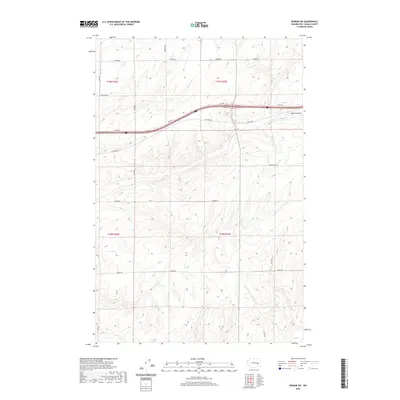
2020 Map of Reiman SW
USGS Topo · Published 2020About this map
Bauer Coulee cuts through this portion of the Channeled Scablands in eastern Washington, defining the drainage patterns of this agricultural landscape. The township and range divisions of t19n r32e, t19n r33e, t18n r32e, and t18n r33e organize the territory into a rigid grid of large-scale farming parcels. This 2020 survey illustrates how modern infrastructure adapts to ancient geological features, with roads like Koch Rd and Schrag Rd following the contours of the coulee while others, such as Weber Rd and Franz Rd, maintain the straight lines of the Public Land Survey System. The map serves as a record of land ownership and local transit, naming thoroughfares like Urquhart Rd and Jantz Rd that connect the isolated farmsteads of Adams County.
Find a feature on this map
18 named features on this map. Tap any name to fly to it.
Don’t see what you’re looking for? This feature index may not catch every label — zoom into the map to look around manually.
Map Details
Editions of this 2020 Reiman SW Map
This is the sole edition of this map. No revisions or reprints were ever made.
Other maps of this area

1916 · Connell
USGS Topo · 1:125,000

1918 · Connell
USGS Topo · 1:125,000

1925 · Schrag
USGS Topo · 1:62,500

1953 · Walla Walla
USGS Topo · 1:250,000

1953 · Ritzville
USGS Topo · 1:250,000

1958 · Walla Walla
USGS Topo · 1:250,000

1959 · Ritzville
USGS Topo · 1:250,000

1965 · Ritzville
USGS Topo · 1:250,000

1967 · Reiman SW
USGS Topo · 1:24,000

1967 · Schoonover
USGS Topo · 1:24,000