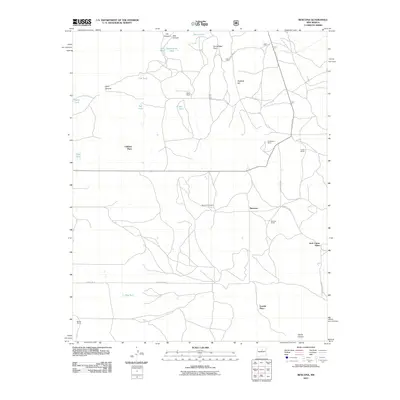
2011 Map of Rencona
USGS Topo · Published 2011About this map
Rencona anchors this section of San Miguel County, a landscape defined by ranching history and a complex network of tanks for water management. The map details a rural settlement pattern where family names distinguish the land, from the Witte Ranch in the north to the Martinez Ranch and Neville Ranch further south. These legacy holdings are punctuated by residential sites like Childres Place and Jack Canon Place, reflecting a tradition of isolated homesteading in the New Mexico high country.
Find a feature on this map
34 named features on this map. Tap any name to fly to it.
Don’t see what you’re looking for? This feature index may not catch every label — zoom into the map to look around manually.
Map Details
Editions of this 2011 Rencona Map
This is the sole edition of this map. No revisions or reprints were ever made.
Other maps of this area

1894 · Lamy
USGS Topo · 1:125,000

1954 · Santa Fe
USGS Topo · 1:250,000

1958 · Santa Fe
USGS Topo · 1:250,000

1960 · Stanley
USGS Topo · 1:62,500
1966 · Mesa El Toro
USGS Topo · 1:24,000
1966 · Laguna Ortiz
USGS Topo · 1:24,000
1966 · North San Ysidro
USGS Topo · 1:24,000
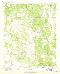
1966 · Rencona
USGS Topo · 1:24,000
1966 · Bull Canyon
USGS Topo · 1:24,000
1966 · Leyba
USGS Topo · 1:24,000