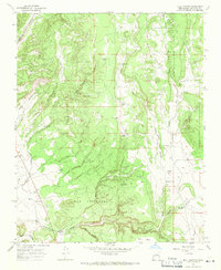
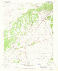
1966 Map of Bull Canyon
USGS Topo · Published 1971About this map
The archaeological remains of Pueblo San Cristobal (Ruins) lie at the heart of this landscape, situated along the Arroyo de San Cristobal in the southern portion of the quadrangle. This 1966 field-checked survey reveals a territory defined by complex drainage systems and traditional ranching infrastructure. Ranching life is evident through the presence of the Bar S Ranch and several watering points like Ojo de la Vaca and Isaque Tank, essential features for livestock in this high-mesa environment. The northern reaches are dominated by the Piedra Lumbre and the headwaters of Amy Creek, while the southern border is anchored by the prominent Pine Mesa. Local heritage is further marked by the San Miguelito Cem, providing a focal point for family history and historical settlement patterns in this part of Santa Fe County.
Find a feature on this map
35 named features on this map. Tap any name to fly to it.
Don’t see what you’re looking for? This feature index may not catch every label — zoom into the map to look around manually.
Map Details
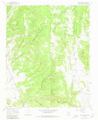
Editions of this 1966 Bull Canyon Map
2 editions found
Other maps of this area

1889 · Santa Fe
USGS Topo · 1:125,000

1894 · Santa Fe
USGS Topo · 1:125,000

1894 · Lamy
USGS Topo · 1:125,000

1952 · Seton Village
USGS Topo · 1:24,000

1953 · Glorieta
USGS Topo · 1:24,000

1954 · Santa Fe
USGS Topo · 1:250,000

1958 · Santa Fe
USGS Topo · 1:250,000
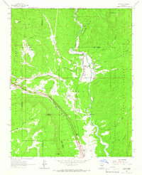
1961 · Pecos
USGS Topo · 1:24,000
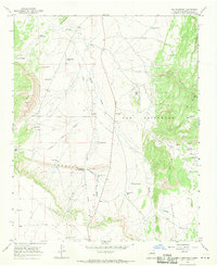
1966 · Ojo Hedionda
USGS Topo · 1:24,000
1966 · Galisteo
USGS Topo · 1:24,000