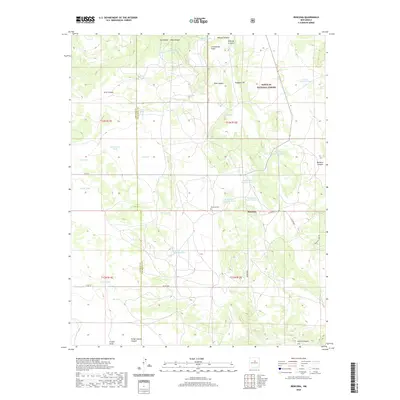
2020 Map of Rencona
USGS Topo · Published 2020About this map
Rencona sits at a geographic transition in San Miguel County, where the high-altitude terrain of the Santa Fe National Forest meets a network of arroyos and canyons. The landscape is defined by its water management, evidenced by dozens of named catchment systems like Jack Carrin Tank, Ribia Tank, and Huddleston Tank Number 5. These features, vital for ranching and land use in this arid region, underscore the reliance on seasonal runoff.
Find a feature on this map
47 named features on this map. Tap any name to fly to it.
Don’t see what you’re looking for? This feature index may not catch every label — zoom into the map to look around manually.
Map Details
Editions of this 2020 Rencona Map
This is the sole edition of this map. No revisions or reprints were ever made.
Other maps of this area

1894 · Lamy
USGS Topo · 1:125,000

1954 · Santa Fe
USGS Topo · 1:250,000

1958 · Santa Fe
USGS Topo · 1:250,000

1960 · Stanley
USGS Topo · 1:62,500
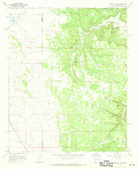
1966 · Mesa El Toro
USGS Topo · 1:24,000
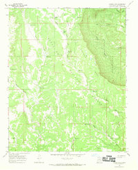
1966 · Laguna Ortiz
USGS Topo · 1:24,000
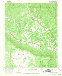
1966 · North San Ysidro
USGS Topo · 1:24,000
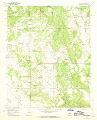
1966 · Rencona
USGS Topo · 1:24,000
1966 · Bull Canyon
USGS Topo · 1:24,000
1966 · Leyba
USGS Topo · 1:24,000