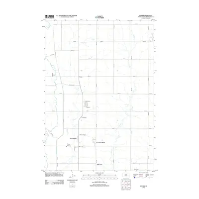
2012 Map of Renner
USGS Topo · Published 2012About this map
Renner and Renner Corner serve as the primary focal points of this 2012 survey in Minnehaha County. The landscape is defined by the winding course of the Big Sioux River to the west and the meandering Slip-up Cr and Silver Cr to the east. The map captures a residential pattern of established additions and new pockets of growth, such as Sorum Heights, McCroskey Addition, and Andys Acres, clustered around the central transit corridor.
Find a feature on this map
41 named features on this map. Tap any name to fly to it.
Don’t see what you’re looking for? This feature index may not catch every label — zoom into the map to look around manually.
Map Details
Editions of this 2012 Renner Map
This is the sole edition of this map. No revisions or reprints were ever made.
Other maps of this area

1955 · Sioux Falls
USGS Topo · 1:250,000

1958 · Sioux Falls
USGS Topo · 1:250,000

1962 · Colton SE
USGS Topo · 1:24,000

1962 · Dell Rapids
USGS Topo · 1:24,000

1962 · Renner
USGS Topo · 1:24,000

1962 · Brandon
USGS Topo · 1:24,000

1962 · Sioux Falls East
USGS Topo · 1:24,000

1962 · Garretson West
USGS Topo · 1:24,000

1962 · Sioux Falls West
USGS Topo · 1:24,000

1962 · Crooks
USGS Topo · 1:24,000