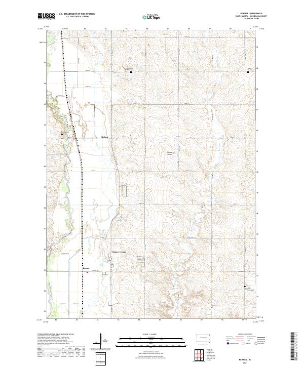
2021 Map of Renner
USGS Topo · Published 2021About this map
The Big Sioux River and its accompanying drainage systems define the landscape north of Sioux Falls in this detailed study of Minnehaha County. The terrain is part of the Coteau des Prairies, a high plateau that influences the local water flow of Silver Cr and Slip-up Cr. Smaller communities like Renner and Renner Corner are centered near the southern edge of the sheet, while the crossroads of Midway sits further north. Genealogists and local historians will find several well-preserved rural burial grounds, including East Nidaros Lutheran Cem, Saint Paul's Cem, Pioneer Cem, and Swedona Covenant Cem. Modern recreation is also documented through the Jay Heath Canoe & Kayak Trl, which follows the winding path of the river, while the Old Diversion Ditch illustrates long-standing water management efforts in the region.
Find a feature on this map
39 named features on this map. Tap any name to fly to it.
Don’t see what you’re looking for? This feature index may not catch every label — zoom into the map to look around manually.
Map Details
Editions of this 2021 Renner Map
This is the sole edition of this map. No revisions or reprints were ever made.
Other maps of this area

1955 · Sioux Falls
USGS Topo · 1:250,000

1958 · Sioux Falls
USGS Topo · 1:250,000

1962 · Colton SE
USGS Topo · 1:24,000

1962 · Dell Rapids
USGS Topo · 1:24,000

1962 · Renner
USGS Topo · 1:24,000

1962 · Brandon
USGS Topo · 1:24,000

1962 · Sioux Falls East
USGS Topo · 1:24,000

1962 · Garretson West
USGS Topo · 1:24,000

1962 · Sioux Falls West
USGS Topo · 1:24,000

1962 · Crooks
USGS Topo · 1:24,000