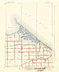
1938 Map of Reno Beach
USGS Topo · Published 1938About this map
Lake Erie and Maumee Bay converge at Cedar Point, defining a marshy landscape of shifting water and early 20th-century recreational development. This area of Jerusalem township shows a intricate network of interconnected ponds and bays, including Wolf Creek Pond, Secor Bay, and Outlet Pond. The presence of the Cedar Point Club and Lakemont Golf Club alongside settlements like Reno Beach and Lakeland reflects the era's transition toward coastal leisure and seasonal residency.
Find a feature on this map
48 named features on this map. Tap any name to fly to it.
Don’t see what you’re looking for? This feature index may not catch every label — zoom into the map to look around manually.
Map Details
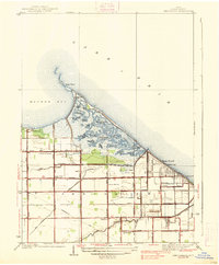
Editions of this 1938 Reno Beach Map
2 editions found
Other maps of this area

1900 · Maumee Bay
USGS Topo · 1:62,500

1900 · Oak Harbor
USGS Topo · 1:62,500

1912 · Monroe
USGS Topo · 1:62,500

1914 · Monroe
USGS Topo · 1:62,500

1934 · Reno Beach
USGS Topo · 1:24,000

1934 · Point Place
USGS Topo · 1:24,000

1935 · Walbridge
USGS Topo · 1:24,000

1935 · Genoa
USGS Topo · 1:24,000
1936 · Erie
USGS Topo · 1:31,680

1938 · Walbridge
USGS Topo · 1:31,680