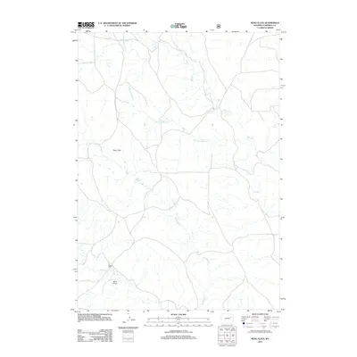
2012 Map of Reno Flats
USGS Topo · Published 2012About this map
Reno Flats characterizes this high plains landscape of Campbell County, where the drainage network of the Powder River basin is etched into the terrain. The presence of Reno Ranch toward the south highlights the enduring cattle-ranching legacy of this region. Water remains the primary shaper of human activity and land use, marked by isolated points like Maycock Spring and Rock Spring which provided critical resources in an otherwise arid environment. The map details a complex system of seasonal watercourses, including Bates Creek and its tributary Little Bates Creek, alongside the various branches of Spring Creek. The topography is further defined by landforms such as Buck Draw, illustrating the erosional patterns common to the Wyoming backcountry during the early 21st century.
Find a feature on this map
9 named features on this map. Tap any name to fly to it.
Don’t see what you’re looking for? This feature index may not catch every label — zoom into the map to look around manually.
Map Details
Editions of this 2012 Reno Flats Map
This is the sole edition of this map. No revisions or reprints were ever made.
Other maps of this area

1955 · Newcastle
USGS Topo · 1:250,000

1958 · Newcastle
USGS Topo · 1:250,000

1959 · Betty Reservoir
USGS Topo · 1:62,500

1959 · Coal Draw
USGS Topo · 1:62,500

1960 · Turnercrest
USGS Topo · 1:62,500

1971 · Little Thunder Reservoir
USGS Topo · 1:24,000

1971 · Teckla SW
USGS Topo · 1:24,000

1974 · Reno Junction
USGS Topo · 1:100,000

1979 · Bill
USGS Topo · 1:100,000

1984 · Turnercrest
USGS Topo · 1:24,000