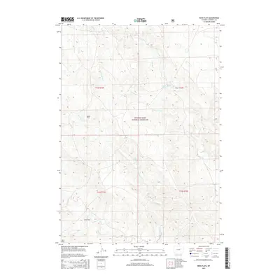
2015 Map of Reno Flats
USGS Topo · Published 2015About this map
Thunder Basin National Grassland encompasses a significant portion of this landscape, where the high plains of Campbell County meet a complex network of intermittent drainages. The area is defined by its subtle topographic shifts, characterized by expansive flats and seasonal watercourses such as Spring Creek and the W Prong Spring Creek. This 2015 survey illustrates a sparsely developed ranching or conservation environment where water remains the primary landmark.
Find a feature on this map
14 named features on this map. Tap any name to fly to it.
Don’t see what you’re looking for? This feature index may not catch every label — zoom into the map to look around manually.
Map Details
Editions of this 2015 Reno Flats Map
This is the sole edition of this map. No revisions or reprints were ever made.
Other maps of this area

1955 · Newcastle
USGS Topo · 1:250,000

1958 · Newcastle
USGS Topo · 1:250,000

1959 · Betty Reservoir
USGS Topo · 1:62,500

1959 · Coal Draw
USGS Topo · 1:62,500

1960 · Turnercrest
USGS Topo · 1:62,500

1971 · Little Thunder Reservoir
USGS Topo · 1:24,000

1971 · Teckla SW
USGS Topo · 1:24,000

1974 · Reno Junction
USGS Topo · 1:100,000

1979 · Bill
USGS Topo · 1:100,000

1984 · Turnercrest
USGS Topo · 1:24,000