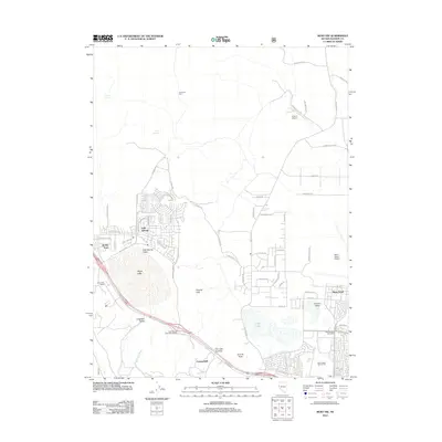
2012 Map of Reno NW
USGS Topo · Published 2012About this map
Cold Springs sits at the heart of this high-desert basin, where residential development clusters around the ephemeral shoreline of White Lake. This 2012 survey captures the northern expansion of the Reno metropolitan area, showing the established suburban grid of Reno-Stead and the rural outposts of Border Town and Copperfield. The landscape is defined by the transition from the valley floors of Cold Spring Valley and Laughton Valley to the rocky elevations of the Granite Hills and Granite Peak. Transportation and infrastructure dominate the southern corridor, marked by the Cold Springs Valley Interchange and regional facilities like the Reno-Stead Airport and Sierra Sage Golf Course. To the east, the basin of Silver Lake and the residential pockets of Lemmon Valley illustrate the ongoing transformation of Washoe County as it grew in the early 21st century.
Find a feature on this map
68 named features on this map. Tap any name to fly to it.
Don’t see what you’re looking for? This feature index may not catch every label — zoom into the map to look around manually.
Map Details
Editions of this 2012 Reno NW Map
This is the sole edition of this map. No revisions or reprints were ever made.
Other maps of this area

1890 · Sierraville
USGS Topo · 1:125,000

1891 · Reno
USGS Topo · 1:125,000

1892 · Sierraville
USGS Topo · 1:125,000

1893 · Reno
USGS Topo · 1:125,000

1894 · Sierraville
USGS Topo · 1:125,000

1950 · Chilcoot
USGS Topo · 1:62,500

1950 · Reno
USGS Topo · 1:62,500

1951 · Reno
USGS Topo · 1:62,500

1955 · Loyalton
USGS Topo · 1:62,500

1957 · Dogskin Mountain
USGS Topo · 1:62,500