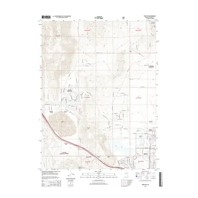
2015 Map of Reno NW
USGS Topo · Published 2015About this map
Petersen Mountain and Peavine Mountain anchor the high-desert landscape of this 2015 survey, where the suburban expansion of northern Reno meets the open reaches of the Toiyabe National Forest. The map illustrates a corridor of concentrated development along White Lake and throughout Cold Spring Valley, reaching toward the state line at Border Town. This era shows a complex mix of aviation and industry, centered around the Reno-Stead Airport and the neighboring community of Reno-Stead.
Find a feature on this map
59 named features on this map. Tap any name to fly to it.
Don’t see what you’re looking for? This feature index may not catch every label — zoom into the map to look around manually.
Map Details
Editions of this 2015 Reno NW Map
This is the sole edition of this map. No revisions or reprints were ever made.
Other maps of this area

1890 · Sierraville
USGS Topo · 1:125,000

1891 · Reno
USGS Topo · 1:125,000

1892 · Sierraville
USGS Topo · 1:125,000

1893 · Reno
USGS Topo · 1:125,000

1894 · Sierraville
USGS Topo · 1:125,000

1950 · Chilcoot
USGS Topo · 1:62,500

1950 · Reno
USGS Topo · 1:62,500

1951 · Reno
USGS Topo · 1:62,500

1955 · Loyalton
USGS Topo · 1:62,500

1957 · Dogskin Mountain
USGS Topo · 1:62,500