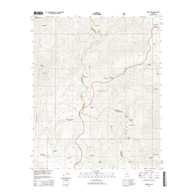
2014 Map of Reno Pass
USGS Topo · Published 2014About this map
The Mazatzal Mountains dominate this high-desert landscape along the border of Maricopa and Gila counties. Within the Tonto National Forest, the terrain is defined by dramatic elevation changes, rising toward prominent summits like Mt Ord and Eagle Peak. The Arizona National Scenic Trail winds through the western half of the sheet, providing a longitudinal corridor through the drainage basins of W Fork Sycamore Cr and E Fork Sycamore Cr.
Find a feature on this map
62 named features on this map. Tap any name to fly to it.
Don’t see what you’re looking for? This feature index may not catch every label — zoom into the map to look around manually.
Map Details
Editions of this 2014 Reno Pass Map
This is the sole edition of this map. No revisions or reprints were ever made.
Other maps of this area

1887 · Verde
USGS Topo · 1:250,000

1892 · Verde
USGS Topo · 1:250,000

1907 · Roosevelt
USGS Topo · 1:125,000

1909 · Four Peaks
USGS Topo · 1:125,000

1912 · Roosevelt
USGS Topo · 1:125,000

1929 · Turret Peak
USGS Topo · 1:125,000

1930 · Cave Creek
USGS Topo · 1:125,000

1933 · Turret Peak
USGS Topo · 1:125,000

1936 · Payson
USGS Topo · 1:48,000

1939 · Cave Creek
USGS Topo · 1:125,000