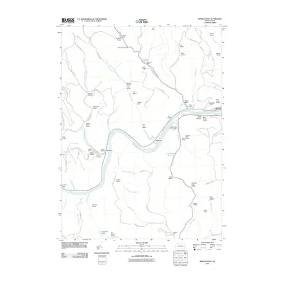
2010 Map of Renovo West
USGS Topo · Published 2010About this map
The West Branch Susquehanna River carves a deep valley through this portion of Clinton County, serving as the primary corridor for settlements like Westport, Shintown, and West Renovo. The topography is defined by narrow ridges and numerous named hollows, such as Sawmill Hollow and Bear Trap Hollow, reflecting the region's long history of timber and coal extraction. Evidence of early land use is found at Coal Hill and the Renovo Reservoir, while several graveyards, including Saint Josephs Cemetery and Noyes Cemetery, provide important links for genealogical research.
Find a feature on this map
91 named features on this map. Tap any name to fly to it.
Don’t see what you’re looking for? This feature index may not catch every label — zoom into the map to look around manually.
Map Details
Editions of this 2010 Renovo West Map
This is the sole edition of this map. No revisions or reprints were ever made.
Other maps of this area

1921 · Howard
USGS Topo · 1:48,000

1923 · Howard
USGS Topo · 1:62,500

1928 · Snow Shoe
USGS Topo · 1:48,000

1931 · Show Shoe
USGS Topo · 1:62,500

1943 · Hyner
USGS Topo · 1:62,500

1946 · Young Womans Creek
USGS Topo · 1:24,000

1946 · Renovo East
USGS Topo · 1:62,500

1946 · Renovo West
USGS Topo · 1:62,500

1946 · Hammersley Fork
USGS Topo · 1:24,000

1946 · Keating
USGS Topo · 1:24,000
Featured Places
- Leidy Township, PA
- Shintown, Noyes Township
- West Renovo, Noyes Township
- Noyes Township, PA
- Chapman Township, PA