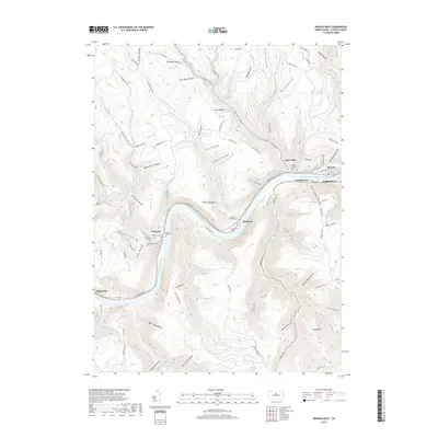
2019 Map of Renovo West
USGS Topo · Published 2019About this map
The West Branch Susquehanna River cuts a deep, winding course through the Allegheny Plateau in this 2019 study of Clinton County. Settlement is concentrated along the riverbanks and narrow valley floors, connected by the Norfolk Southern rail line and Renovo Rd. Small communities like Westport, Shintown, and the outskirts of Renovo are tucked into the bends of the river, surrounded by numerous steep hollows such as Big Basin Hollow and Brick House Hollow.
Find a feature on this map
102 named features on this map. Tap any name to fly to it.
Don’t see what you’re looking for? This feature index may not catch every label — zoom into the map to look around manually.
Map Details
Editions of this 2019 Renovo West Map
This is the sole edition of this map. No revisions or reprints were ever made.
Other maps of this area

1921 · Howard
USGS Topo · 1:48,000

1923 · Howard
USGS Topo · 1:62,500

1928 · Snow Shoe
USGS Topo · 1:48,000

1931 · Show Shoe
USGS Topo · 1:62,500

1943 · Hyner
USGS Topo · 1:62,500

1946 · Young Womans Creek
USGS Topo · 1:24,000

1946 · Renovo East
USGS Topo · 1:62,500

1946 · Renovo West
USGS Topo · 1:62,500

1946 · Hammersley Fork
USGS Topo · 1:24,000

1946 · Keating
USGS Topo · 1:24,000
Featured Places
- Leidy Township, PA
- Shintown, Noyes Township
- West Renovo, Noyes Township
- Noyes Township, PA
- Chapman Township, PA