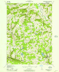
1946 Map of Rensselaerville
USGS Topo · Published 1957About this map
Rensselaerville sits at the heart of this post-war landscape, where the rugged topography of the Helderbergs transitions into the Rensselaerville and Berne uplands. The map reveals a rural economy shaped by high-elevation terrain, with numerous small schoolhouses such as Brat Hollow Sch and Peasley Sch serving scattered farmsteads and small hamlets like Zucks Corners and Hawverville. The northern reaches are dominated by Fox Creek and the Switz Kill, while the central portion is largely preserved within the Partridge Run Game Management Area. Notable water bodies like Myosotis Lake, Triangle Lake, and Crystal Lake punctuate the ridges, likely serving as local focal points for recreation or conservation. The prominence of family-named crossroads and several cemeteries, including Woodlawn Cem, provides a detailed look at the 1940s community structure before the mid-century suburbanization of the broader Albany area.
Find a feature on this map
42 named features on this map. Tap any name to fly to it.
Don’t see what you’re looking for? This feature index may not catch every label — zoom into the map to look around manually.
Map Details
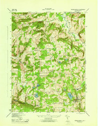
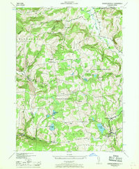
Editions of this 1946 Rensselaerville Map
3 editions found
Other maps of this area

1893 · Durham
USGS Topo · 1:62,500

1894 · Durham
USGS Topo · 1:62,500

1898 · Schoharie
USGS Topo · 1:62,500

1900 · Schoharie
USGS Topo · 1:62,500

1900 · Schoharie
USGS Topo · 1:31,680

1900 · Berne
USGS Topo · 1:62,500

1901 · Gilboa
USGS Topo · 1:62,500

1903 · Gilboa
USGS Topo · 1:62,500

1903 · Berne
USGS Topo · 1:62,500
1943 · Westerlo
USGS Topo · 1:24,000