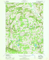
1946 Map of Rensselaerville
USGS Topo · Published 1968About this map
Rensselaerville and Berne anchor this mid-1940s landscape, which transitioned from early agricultural roots to a managed conservation area. Much of the central terrain is dedicated to the Partridge Run Game Management Area, a vast territory that encompasses family-named peaks like Cook Hill and Henry Hill. The map preserves the locations of local schoolhouses that served the hill country before consolidation, including Brat Hollow Sch and Messer Sch. Small rural hamlets like Zucks Corners and Hawversville dot the roadways, while the valley floors are defined by waterways such as the Switz Kill and Fox Creek. Significant water bodies like Myosotis Lake and Crystal Lake provide geographical anchors for the southern half of the quadrangle, which also features the Crystal Lake Cem and the cascade at Rensselaerville Falls.
Find a feature on this map
41 named features on this map. Tap any name to fly to it.
Don’t see what you’re looking for? This feature index may not catch every label — zoom into the map to look around manually.
Map Details
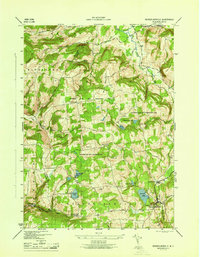
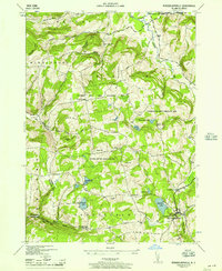
Editions of this 1946 Rensselaerville Map
3 editions found
Other maps of this area

1893 · Durham
USGS Topo · 1:62,500

1894 · Durham
USGS Topo · 1:62,500

1898 · Schoharie
USGS Topo · 1:62,500

1900 · Schoharie
USGS Topo · 1:62,500

1900 · Schoharie
USGS Topo · 1:31,680

1900 · Berne
USGS Topo · 1:62,500

1901 · Gilboa
USGS Topo · 1:62,500

1903 · Gilboa
USGS Topo · 1:62,500

1903 · Berne
USGS Topo · 1:62,500
1943 · Westerlo
USGS Topo · 1:24,000