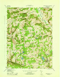
1946 Map of Rensselaerville
USGS Topo · Published 1946About this map
The Partridge Run Game Management Area dominates the high, upland terrain between the drainage basins of Fox Creek and Tenmile Creek in this mid-century survey. The landscape is a network of ridges and hollows, where small rural communities like Zucks Corners and Hawverville are connected by winding roads through the Schoharie-Albany county line. The map highlights a scattered educational infrastructure with local institutions such as Peasley Sch, Messer Sch, and School No 2, indicating a localized population pattern in the hill country.
Find a feature on this map
37 named features on this map. Tap any name to fly to it.
Don’t see what you’re looking for? This feature index may not catch every label — zoom into the map to look around manually.
Map Details
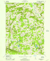
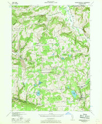
Editions of this 1946 Rensselaerville Map
3 editions found
Other maps of this area

1893 · Durham
USGS Topo · 1:62,500

1894 · Durham
USGS Topo · 1:62,500

1898 · Schoharie
USGS Topo · 1:62,500

1900 · Schoharie
USGS Topo · 1:62,500

1900 · Schoharie
USGS Topo · 1:31,680

1900 · Berne
USGS Topo · 1:62,500

1901 · Gilboa
USGS Topo · 1:62,500

1903 · Gilboa
USGS Topo · 1:62,500

1903 · Berne
USGS Topo · 1:62,500
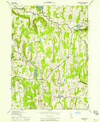
1943 · Westerlo
USGS Topo · 1:24,000