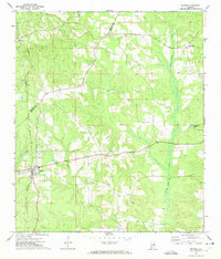
1971 Map of Repton
USGS Topo · Published 1974About this map
Repton serves as the primary rail hub on this southern Alabama landscape, situated at the junction of the Louisville and Nashville railroad. The terrain is defined by the winding course of Burnt Corn Creek and Brushy Creek, which carve through the region's hilly woodlands. Small agricultural settlements like Bermuda, Drewry, and Nichburg are scattered throughout, each linked by rural roads that trace the county line between Monroe Co and Conecuh Co.
Find a feature on this map
13 named features on this map. Tap any name to fly to it.
Don’t see what you’re looking for? This feature index may not catch every label — zoom into the map to look around manually.
Map Details
Editions of this 1971 Repton Map
2 editions found
Other maps of this area

1953 · Andalusia
USGS Topo · 1:250,000

1957 · Andalusia
USGS Topo · 1:250,000
1971 · Range
USGS Topo · 1:24,000
1971 · Castleberry
USGS Topo · 1:24,000
1971 · Belleville
USGS Topo · 1:24,000
1971 · China
USGS Topo · 1:24,000
1971 · Burnt Corn
USGS Topo · 1:24,000
1972 · Monroeville
USGS Topo · 1:24,000
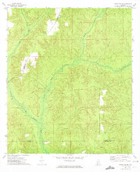
1972 · Frisco City SE
USGS Topo · 1:24,000
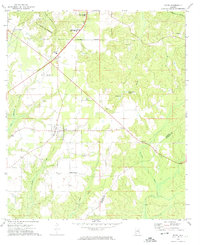
1972 · Excel
USGS Topo · 1:24,000