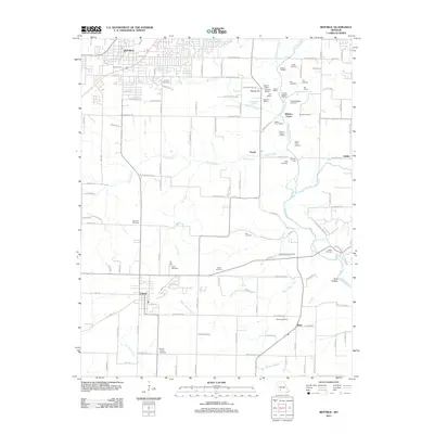
2011 Map of Republic
USGS Topo · Published 2011About this map
Bloody Hill and the surrounding valley of Wilsons Creek preserve the critical landscape of a major Civil War engagement southwest of Republic. This modern survey meticulously identifies historical tactical markers and family farmsteads that defined the 1861 battlefield, including Sigel's First Position, Totten's Battery, and the Ray House. The documentation extends beyond the military history to include agricultural landmarks like the Gibson Oatfield and Ray Cornfield, providing a clear view of the rural landscape that remains today.
Find a feature on this map
89 named features on this map. Tap any name to fly to it.
Don’t see what you’re looking for? This feature index may not catch every label — zoom into the map to look around manually.
Map Details
Editions of this 2011 Republic Map
This is the sole edition of this map. No revisions or reprints were ever made.
Other maps of this area

1884 · Springfield
USGS Topo · 1:125,000

1886 · Greenfield
USGS Topo · 1:125,000

1886 · Springfield
USGS Topo · 1:125,000

1888 · Greenfield
USGS Topo · 1:125,000

1907 · Forsyth
USGS Topo · 1:125,000

1919 · Halltown
USGS Topo · 1:62,500

1935 · Springfield
USGS Topo · 1:24,000

1936 · Brookline
USGS Topo · 1:24,000

1942 · Aurora
USGS Topo · 1:62,500

1945 · Harrison
USGS Topo · 1:250,000